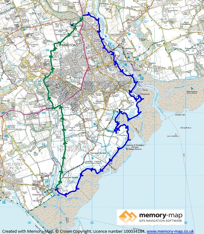
11.1km along the coast and a total of 18.2km
On a sunny but breezy September morning we set out from home, across the field to the nearest point on the Lymington River a distance of only about half a kilometre. Although the river is no longer tidal at this point by the Ampress Co-op it seemed a good place to start.
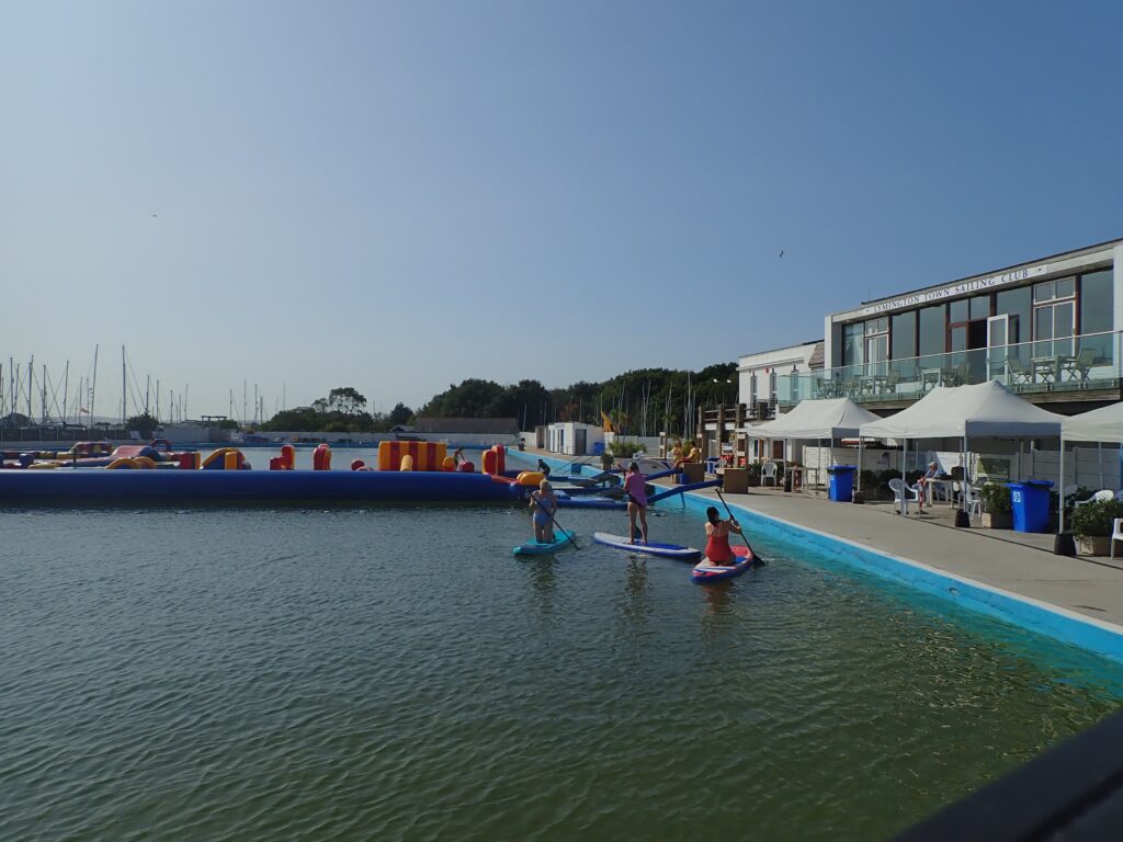
There is a narrow wooded footpath that lead along the river and we came to the “Toll Bridge” where the tidal section of the river starts, and from here through the town, past the quay and Berthons boatyard to the Sea-water baths.

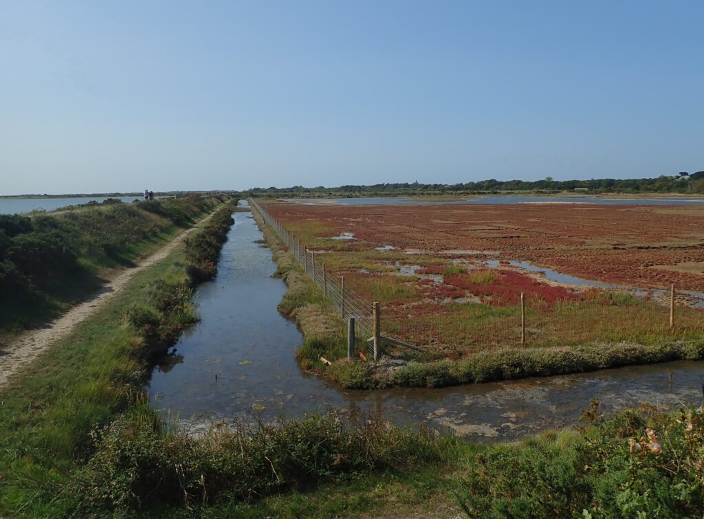
This is the start of the sea wall which we followed to Keyhaven – a winding length which follows old walls which were the edges of the salterns to make salt and Lymington rich in the past. The marshes behind the sea-wall clearly show the layout of the salterns in places and there are now brackish lakes formed from the “borrow pits” where clay was excavated in the 1980’s to re-build the sea-wall.
On a sunny day the path was quite busy with bird-watchers as this is a good place to see migrating birds where they stop to feed before moving on to warmer climes for the winter.

We stopped for a picnic lunch by Moses’s dock, one of the old inlets that would have been used to bring coal to the boiling houses when salt was being made and this tranquil marsh would have been an industrial landscape.
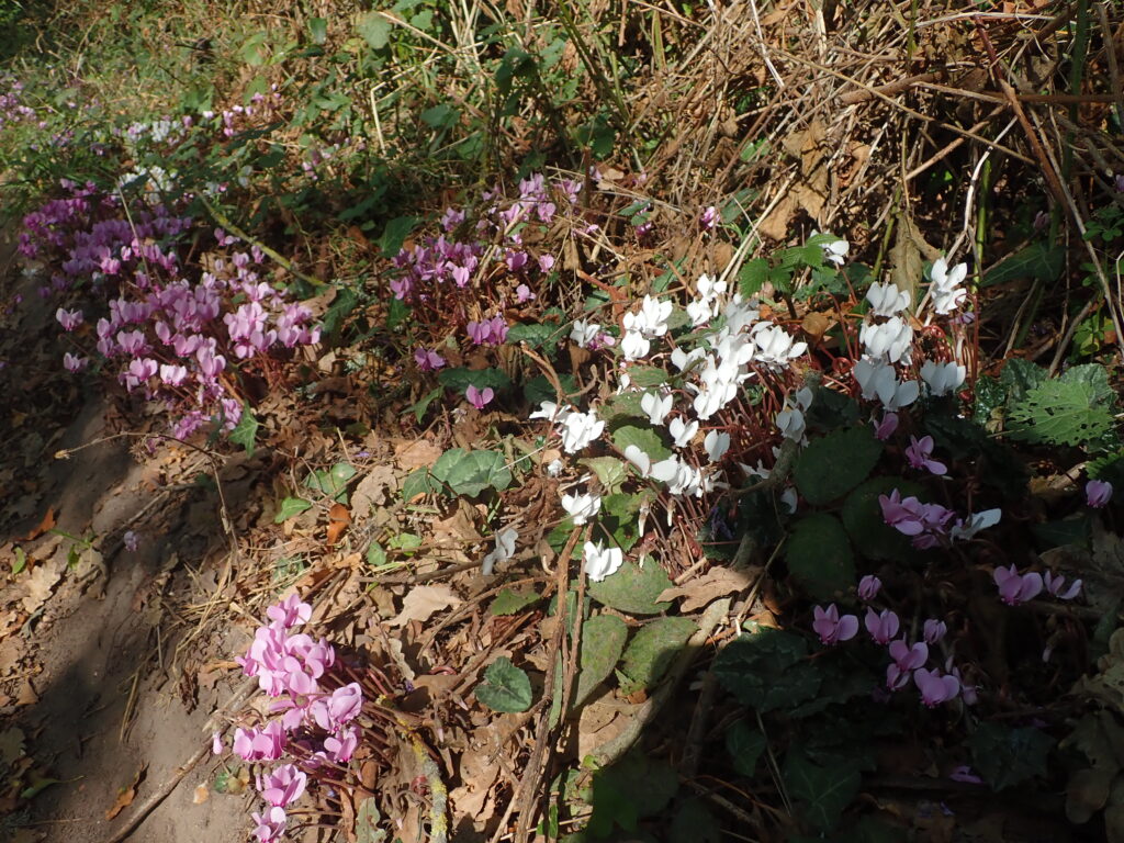
From Keyhaven we returned along the start of the “Ancient Highway” but then follow Iley lane past the tip and the sewage works, through the edge of Pennington and across the common before returning to Buckland Rings and saw some natural cyclamen on the side od the track.

