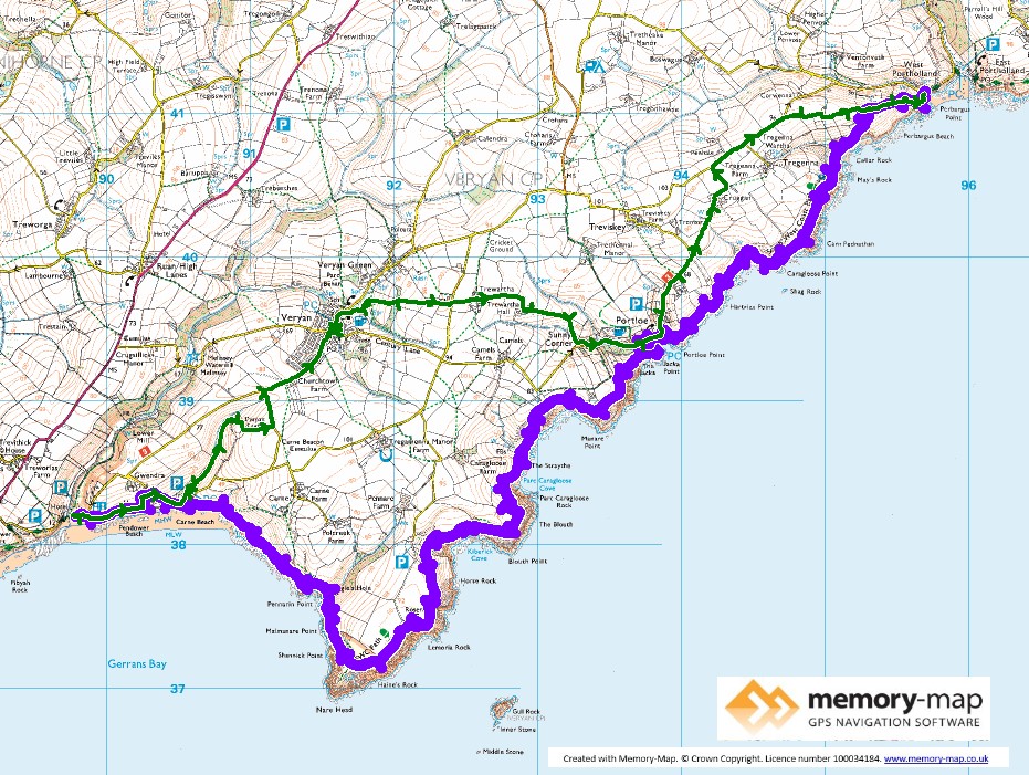
The remaining part of Section 40 and almost half of section 39in the SWCPA handbook
12.27 km along the coast and 11.3 km inland
We had a different sort of day yesterday and rather than walk along the path, we caught the ferry from St Mawes to Falmouth and had fish and chips for lunch, but had to dodge heavy showers in the town. So we were please that for toady the weather looked much better, though showers were possible.
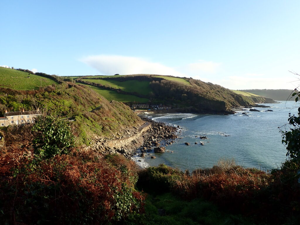
So we climbed the hill from right outside “Lime Kiln” in West Portholland and the path follows the cliff edge all the way to Portloe. Mainly a good path, but with a few rocks in places. The path decends to the tiny harbour at Portloe and we were too early for coffee at the Lugger Hotel.
From here, after another quite steep ascent from the village the path continues to follow the cliff edge most of the way to Nare Head. The SWCPA handbook describes this part of the path as “remote” which is a good description. It has a few quite steep ascents and alternates between easy grassland and quite narrow parts between vegetation, which were quite muddy following the last few days’ rain.
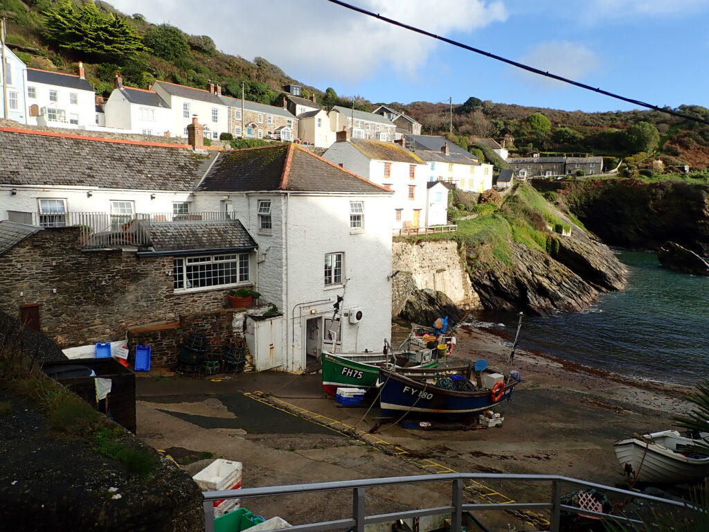
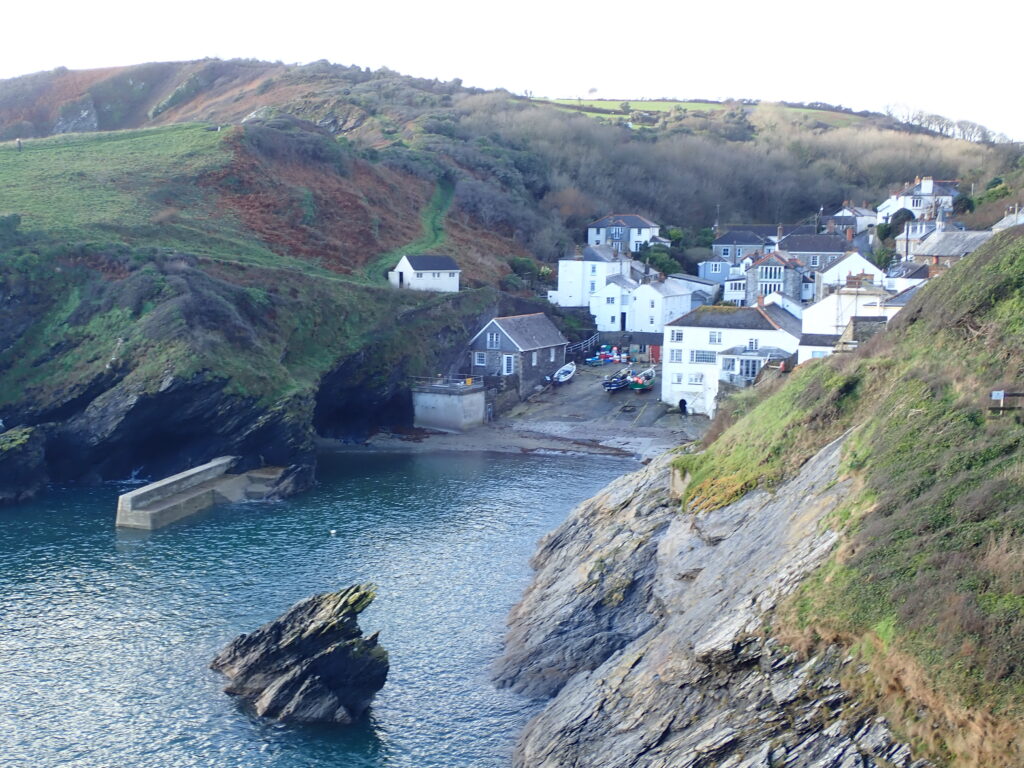
After rounding Nare Head, the view opens to the West and you can see both the whole of the Roseland Peninsular and the Lizard, the last major headland before Lands End. Also you can see that there will be a few valleys to cross before reaching Pendover Beach.
So again some fairly steep, and muddy descents and ascents before reaching Carne Beach and the rather unfriendly Nare Hotel, with a message outside “Non-residents by reservation” so we walked on to Pendover Beach for our smoked salmon roll.
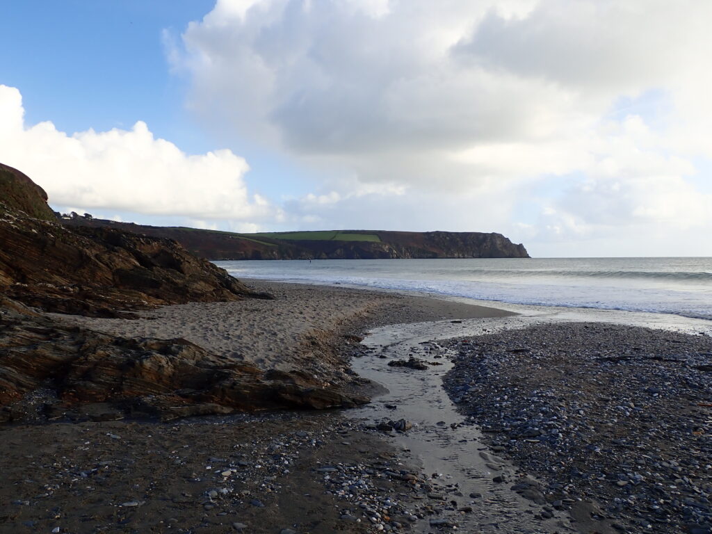
From here we walked through the National Trust Car-park up to Varyan where we were please to find the New Inn still open and so sat outside for a “proper Job” before following a series of footpaths back to Portloe and then back to Portholland where we re-joined the Coastal Path for the last quarter mile back to Lime Kiln, just as there was an orange glow in the sky as the sun was setting.
