The remaining part of section 18 in the SWCPA handbook
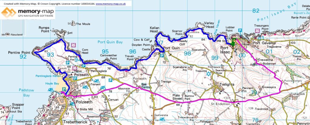
14.1 km along the coast, 0.1 km Inland and 11.3 Km by bus from Polzeth to Port Isaac.
Due to the rather sparce bus service at this time of year in Cornwall, we decided to get the only morning bus to Port Isaac, which got us to “The Pea Pod” shortly after 10am. So we walked down to the village and had a coffee before starting. There was a little drizzle to start and at times the path was quite muddy.
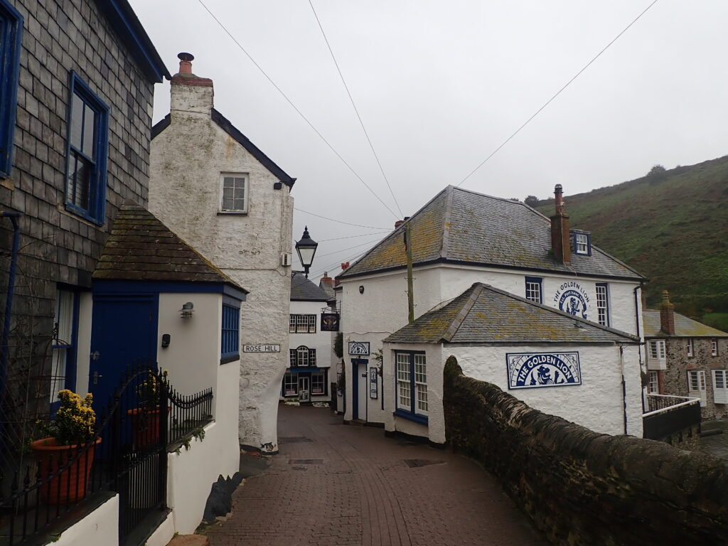
From Port Isaac there is a fairly steep ascent with good views of the village (apart from a little mist) and then another quite steep down and steps up. The signposts said 3 miles to Port Quin, but this was quite slow.
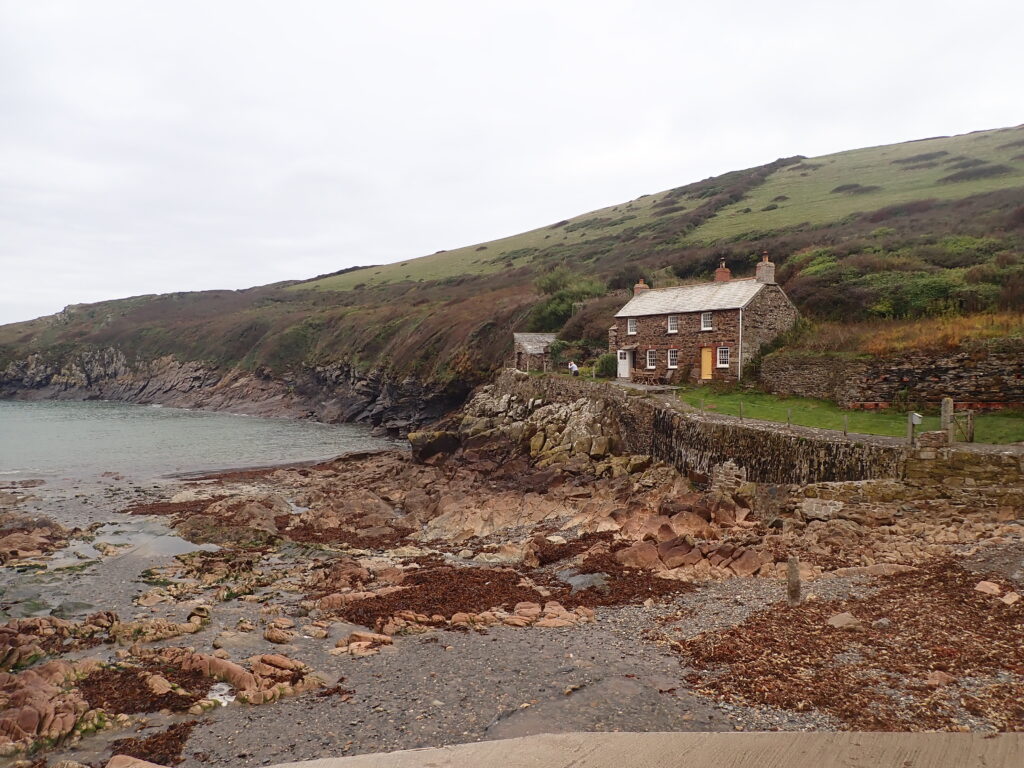
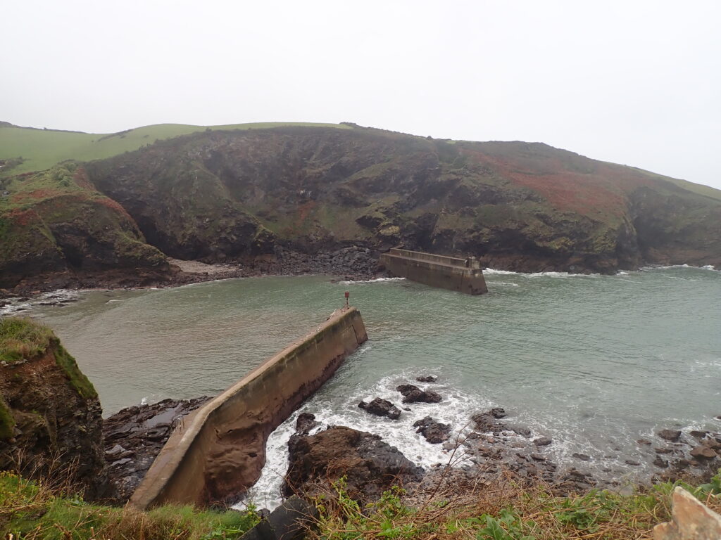
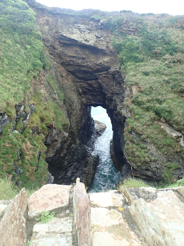
We descended to Port Quin, which seems to consist of mainly Nation Trust holiday cottages, but is quite picturesque then another steady climb and a couple of valleys before we reached Lundy Hole, where we were surprised to find a few people and surf board.
As we continued West, the path gradually gets a little less steep before getting to a little peninsular called the Rumps and then Pentire head. Then it’s mostly downhill, but with a few steep steps up and back down to Polzeth and then across the beach to the Campsite.