The whole of section 19 in the SWCPA handbook
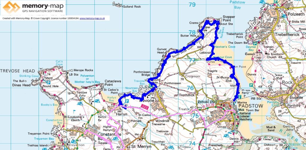
11.75km along the coast, 2.07km Inland and 25km by bus
We caught the bus from Porthcothan to Harlyn Bridge in the morning, on time and waited in a couple of places to keep to schedule. So back to the car park at Harlyn bridge.
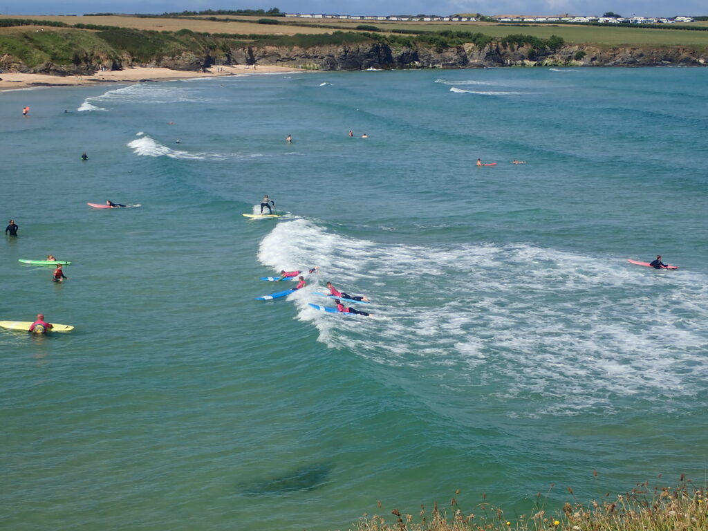
As it was now High Tide the beach looked very different, but the keen surfers were already in the water. However we started walking along the path. Quiet and easy walk to initially rocky shores and then sand at Trevone, where we stopped for a swim and coffee on a patch of grass.

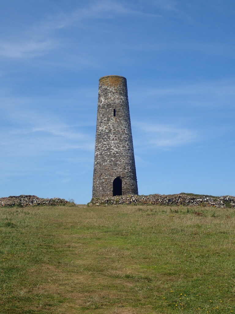
From here a pleasant grassy path, or series of paths in some places and unclear which was the main path, to the daymark at Stepper point. Then we descended to a National Coastal observation station and having checked with the observers followed a rather overgrown path – this soon merged with the official path that was right on the edge of the cliff and must have been steeply downhill from the daymark.
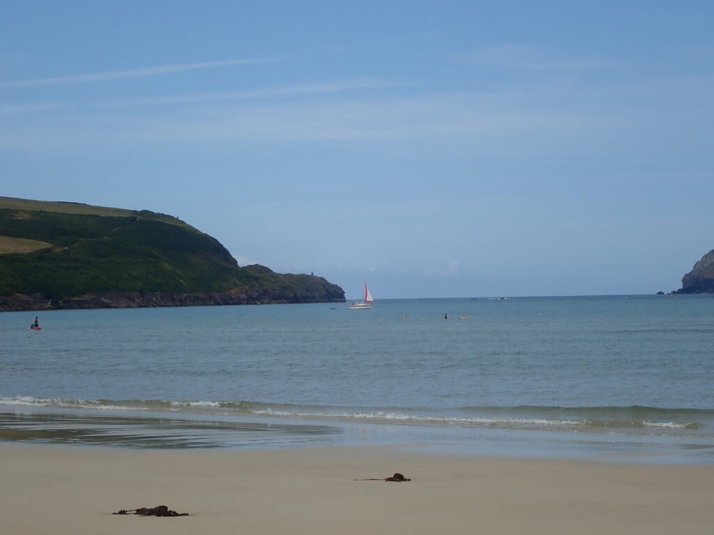
Having stopped for lunch beside the path we descended to the sand. The tide was going out and low so much sand being exposed, so we swam in the shallow water before rejointing the path into Padstow.
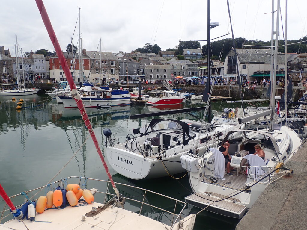
This is the land of contrasts – having descended fairly steep cliffs and an extensive sandy beach we were then with crowds buying Ice-cream and seagulls trying to steal it and high-end Rick Stein restaurants and advertisements for cookery courses.
However, we caught a bus back to the tranquil Porthcothan.