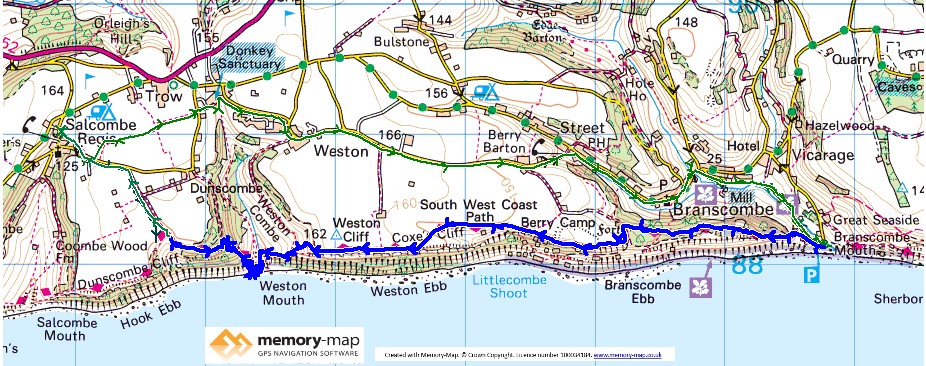
6.3 km along the coastal path and 8.7 km inland
Part of section 60 in the SWCPA handbook
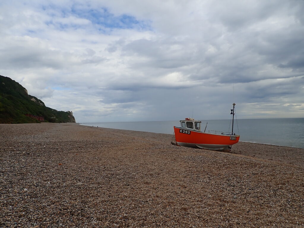
After a slow start following watching a football match between England and Italy and a rather slow journey along the A31 and the A35, we decided to head for our campsite at Selcome Regis before walking. This was a good decision as we could walk through the “dog exercise field” and then past the donkey sanctuary (I didn’t realise how many donkeys needed to be saved) and then through the pretty villages of Street and Branscombe before returning to Branscombe Mouth.
Very different from when we were there just a month ago due to the grey skies, but despite comments that I mention Ice Cream too much, it seemed sensible to enjoy the Blackcurrant and clotted cream that was available.

The signs say 2 and 3 quarters of a mile from Branscaombe Mouth to Weston Mouth, but it is steep uphill to start and at the top of Western Cliff, with a good view of our route further West, the signs still said another two miles, despite my watch saying that we had done 1.5km.
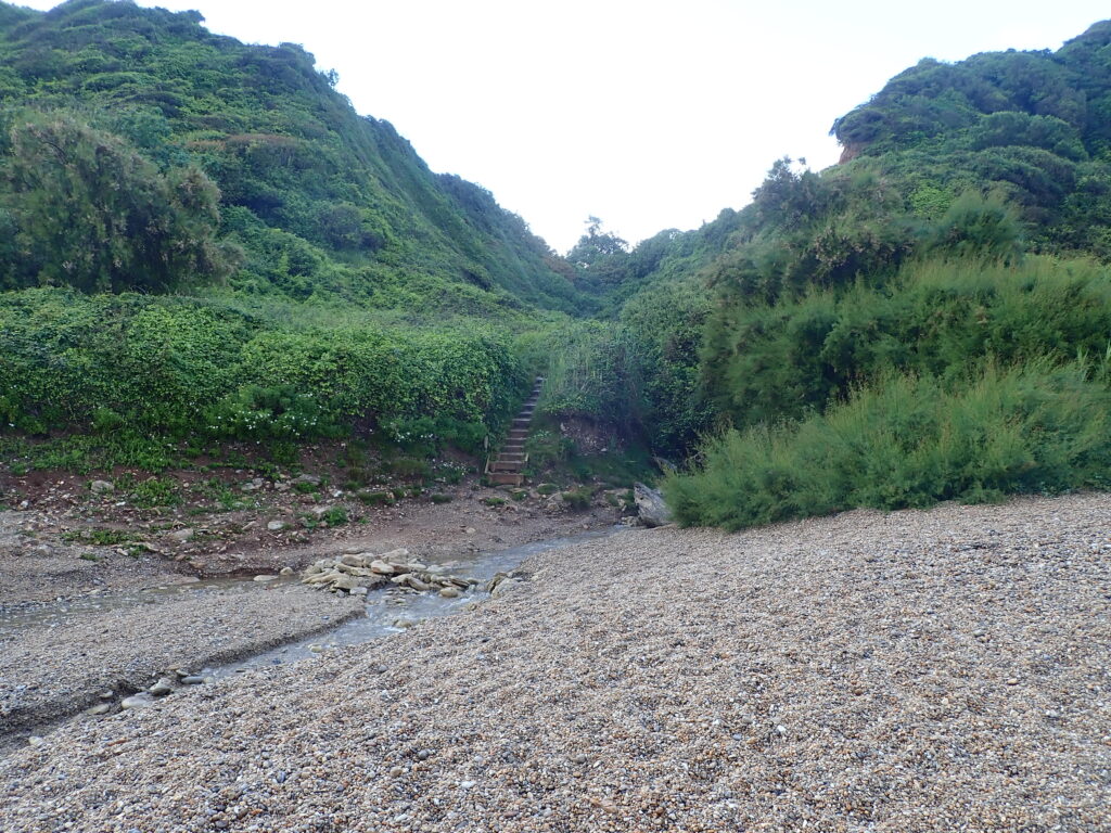
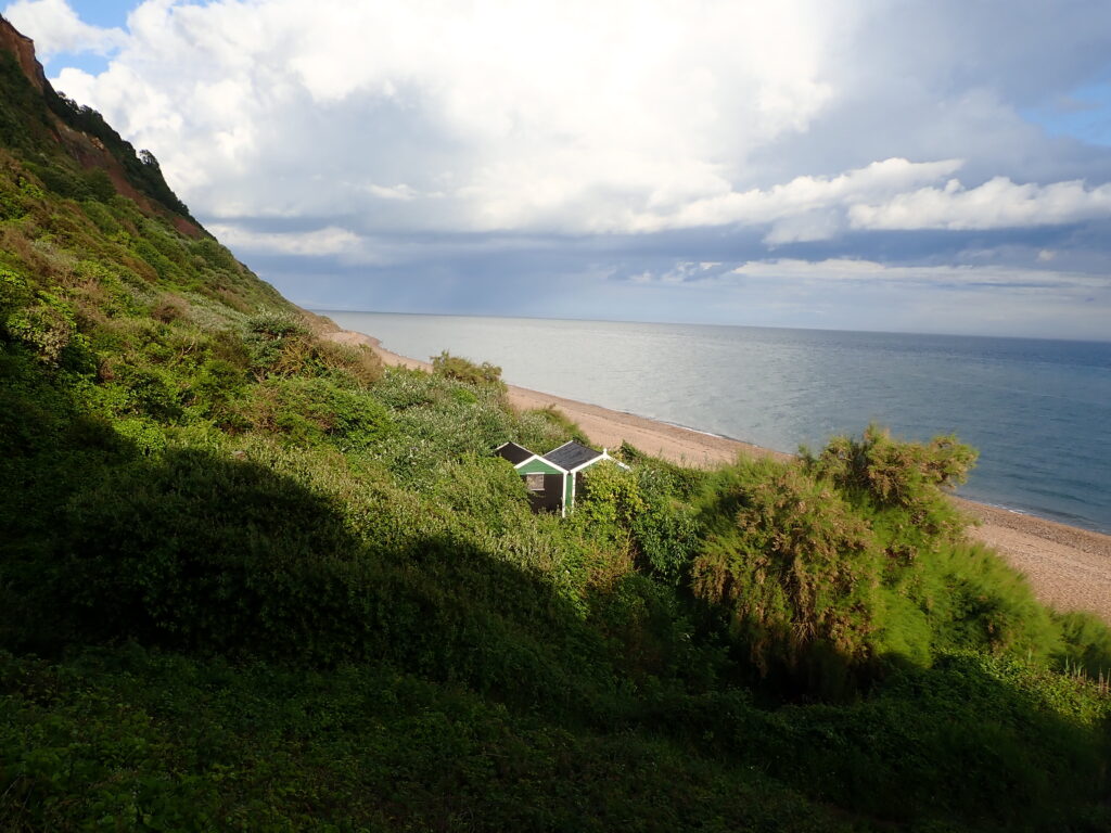
Eventually we made a steep decent to Weston Mouth and were luck to avoid the thunderstorms about, though they had filled the wooden steps with a red muddy water. Weston Mouth is a rather lovely beach, completely deserted and calm, but with a couple of beach huts and what looked like and abandoned café.


So back up a steep path and past a sign National Trust sign explaining the Weston Platts was once a flourishing area producing early vegetables on the south facing slopes. As we climbed to Limcombe we decided that it would be best to take the shortest route back to the campsite and Salcombe Regis rather than to continue
