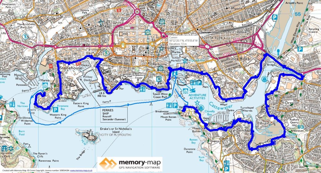
13.04km along the coast and nothing inland but a little over 3km by ferry
There is a very useful free car-park in Mount Batton, close to the ferry terminal, so we parked here. Then retraced our steps from yesterday around the peninsular and to Turnchapel, almost a village. The Coastal path, now signed with red iron markers follows a mixture of the water’s edge and suburban roads to Laira bridge with a fairly long stretch along the main road.
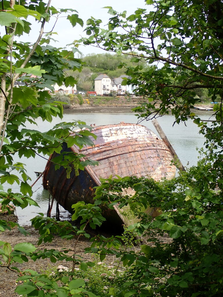
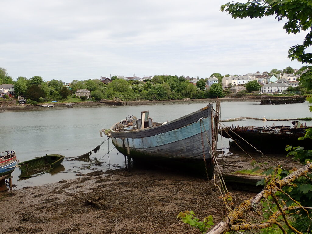
This reach of the River Plym, seems to be almost a dumping ground for some substantial wooden boats. Continuing along quieter roads through a commercial area, eventually we got to Sutton Harbour, where we had to wait a few minutes for access across the lack gates.
This took us to the Barbican, and a stop for coffee outside, despite the wind.
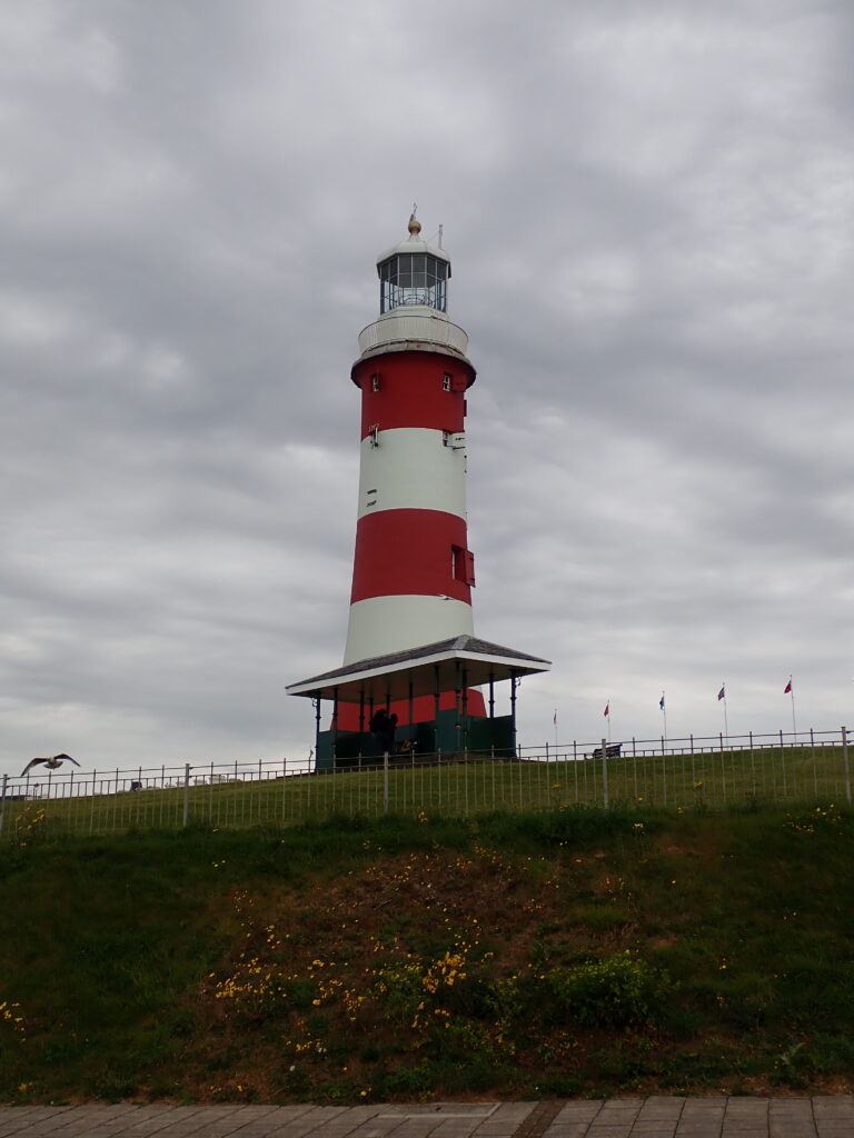
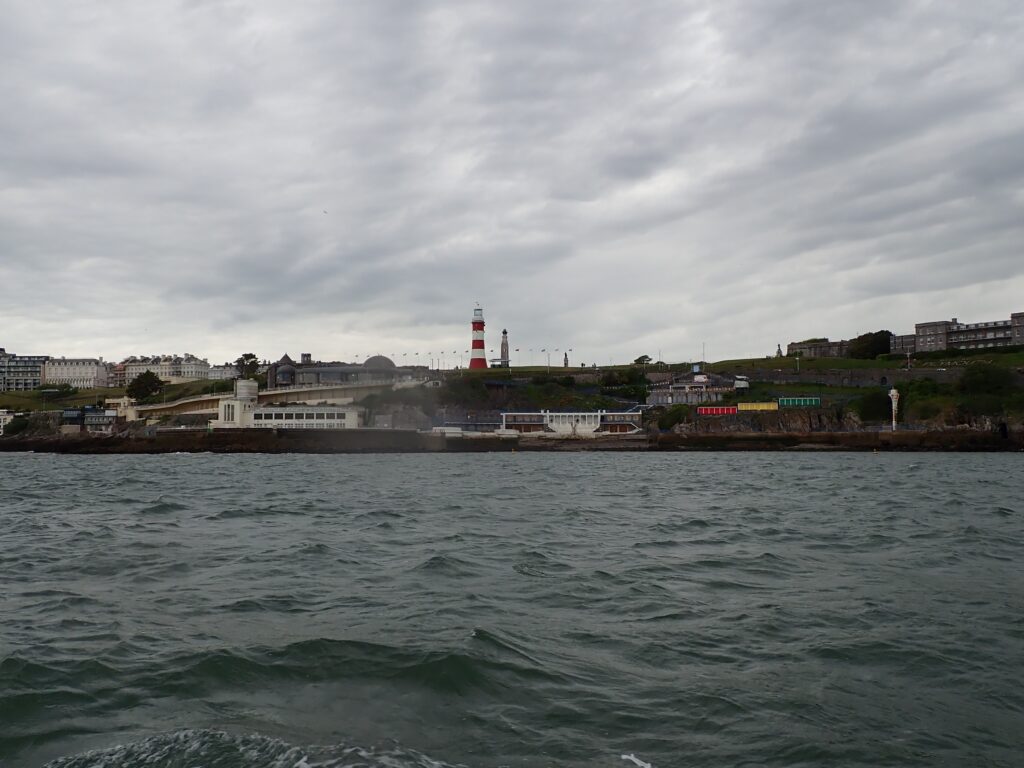
The next stretch, although fairly short, is classic Plymouth, past the Eddistone Lighthouse, moved to the Hoe and the restored Tinside Lido.
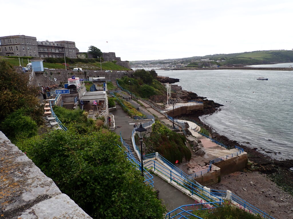
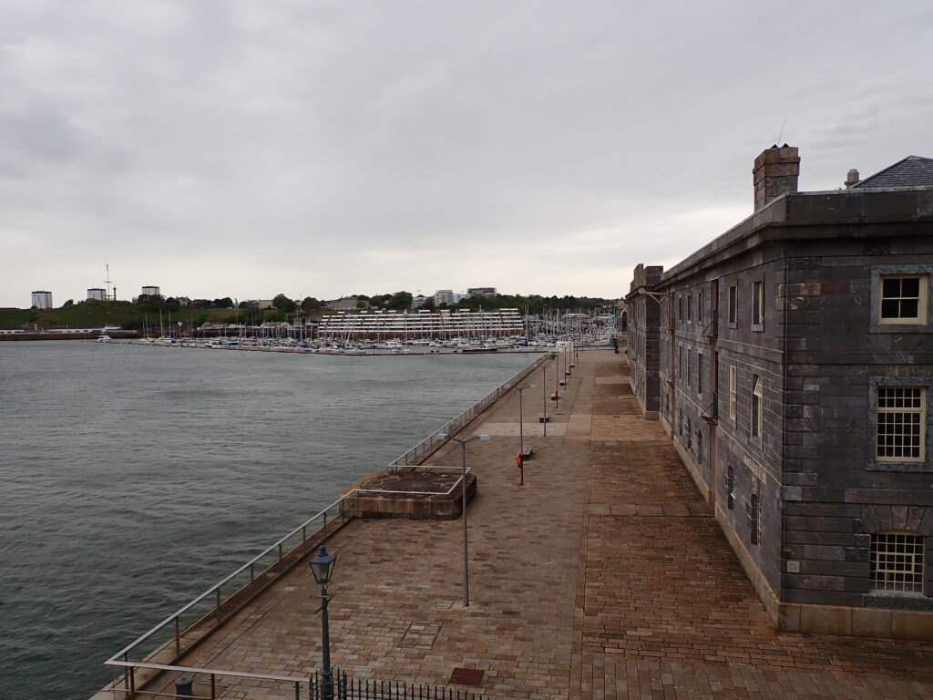
From here the path is often a street back to avoid the new Marina developments until you reach Devil’s Point, where the wind and a little rain were making their presence felt! We were lucky to reach the ferry back to the Barbican just before it was leaving and get back to the City Centre. After a little while in the City we returned to Frodo on the Mount Batton Ferry.
From here we drove across the “Floating Bridge” – three parallel chain-ferries into Cornwall. Thence to our campsite at Maker Heights.
