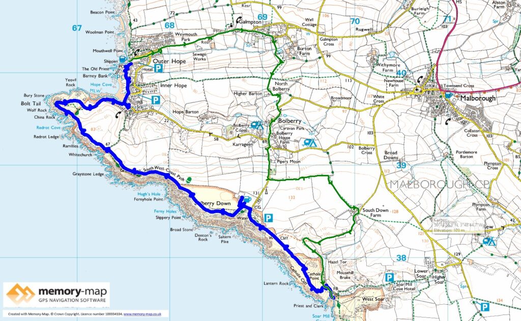
5.8km along the coast and 6.4km inland. The remaining half of section 51 in the SWCPA handbook
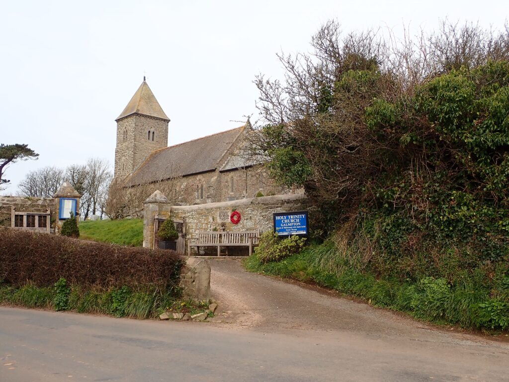
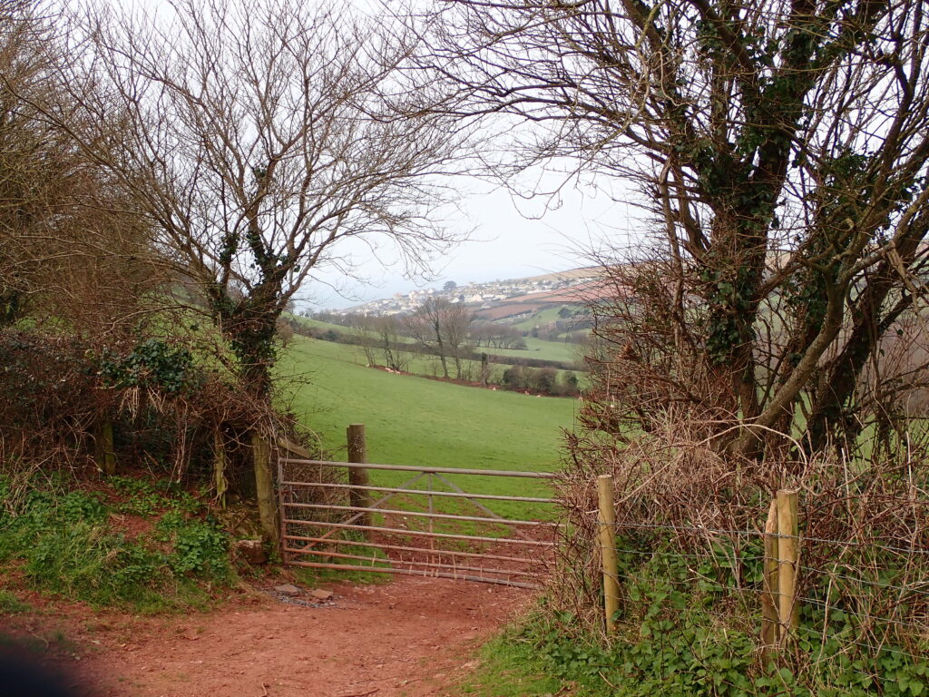
The forecast this morning was for rain in the afternoon, so we thought it best to start reasonably early, there was also still a strong wind, though slightly warmer than yesterday. We were staying in a Holiday cottage in Outer Hope and so walked along the road to Galampton, then across a series of footpaths and minor roads, through Bolberry, past the National Trust’s South Down Farm and down to the beach at Soar Mill Cove.
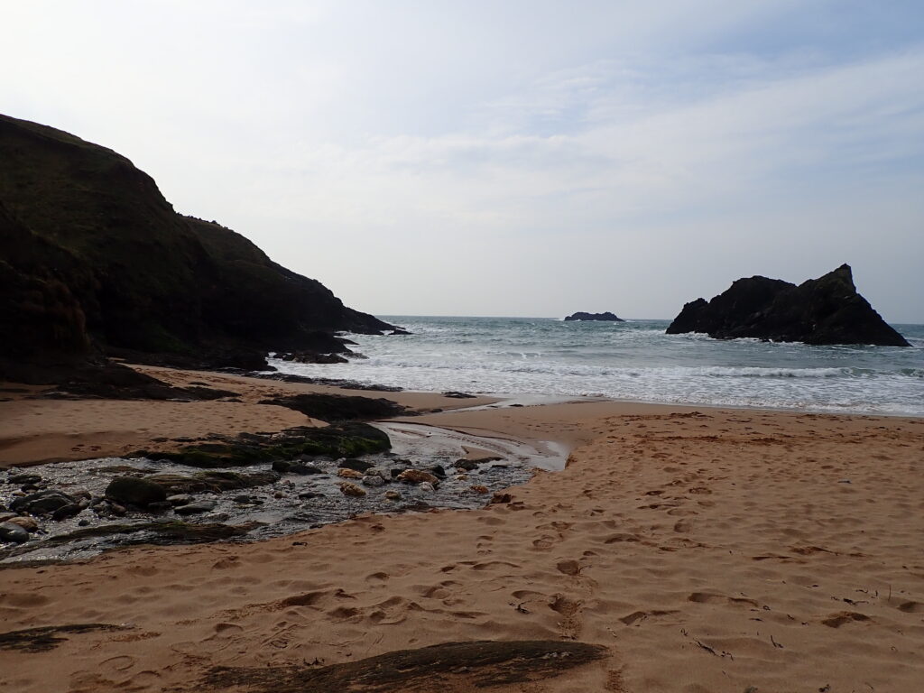
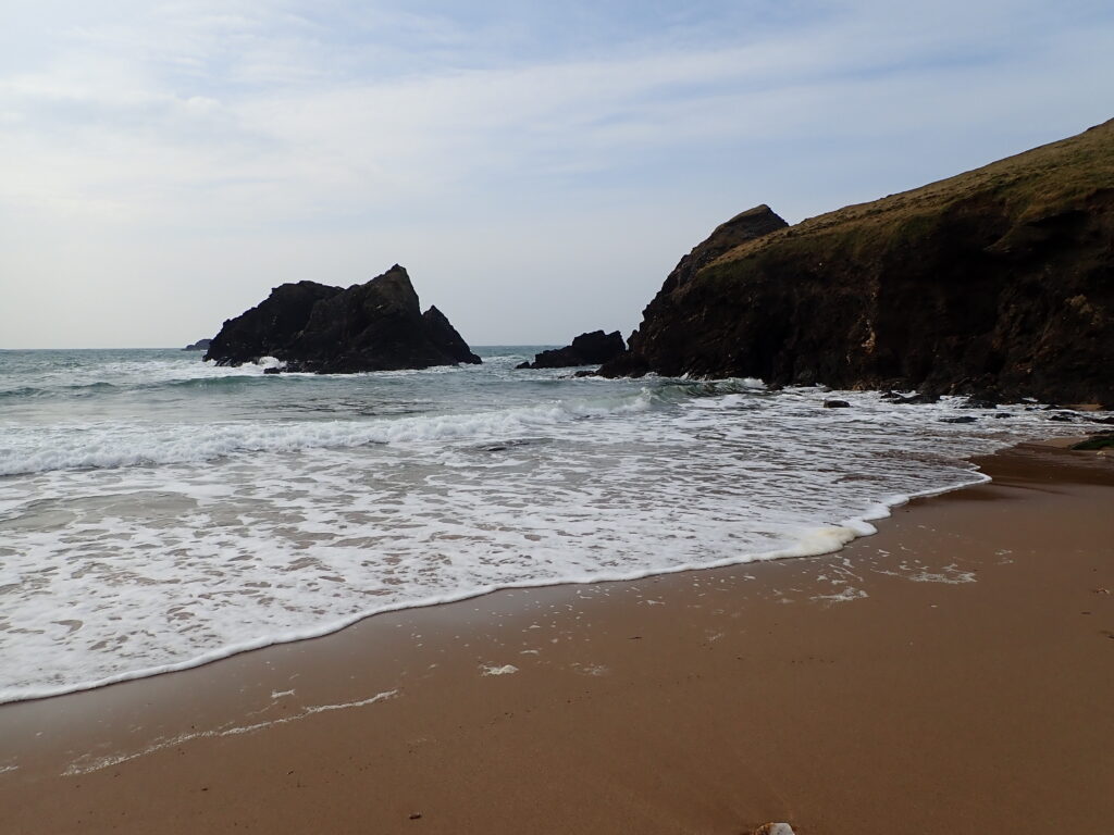
The tide was a little higher than yesterday and the more Southerly wind made the sea much rougher, but there was still shelter and a pleasant place to stop for a little while.
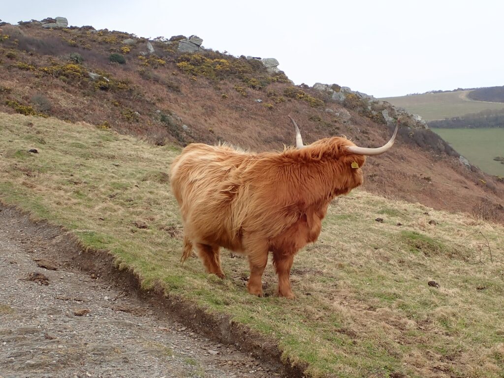
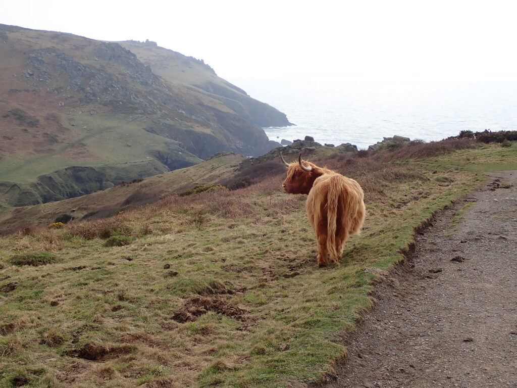
From here there was a good path, up fairly steeply and then along the top to Bolberry Down. There is a complex of holiday homes here, with a restaurant and bar, but although there was no sign to tell you at the end of the drive, it was closed on Monday and Tuesday.
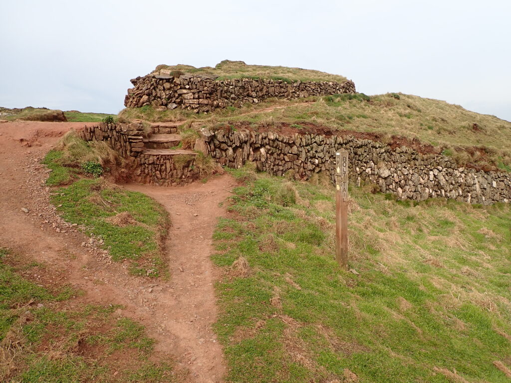
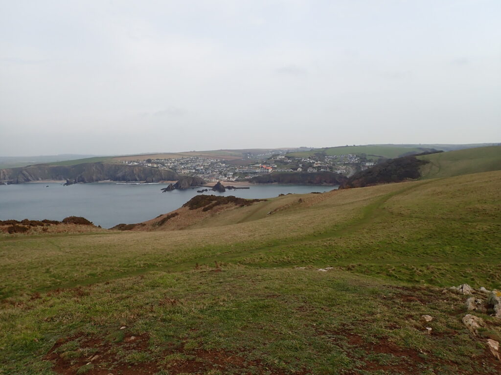
A new wheel-chair friendly path continues for a little while until a wide grassy path descends to Bolt Tail. Where the path leads to some drystone Iron-age fortifications and then round to the South, and out of the wind! This gives good views to Hope Cove, and around the bay, though it was rather cloudy.
The rain didn’t materialise and after stopping at the pub for a drink on the terrace, we had lunch in the sunshine on the beach before walking the short distance up the lane to our holiday cottage.
