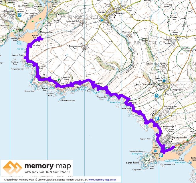
7.1km along the coast and the same back – The remainder of Section 50 in the SWCPA handbook.
After strong winds and cloud for the last few days, the wind had dropped a little and the forecast was for sun later in the morning. Despite needing to return home, we thought it would be good to walk to 7km to complete this section as far as the River Erme. The SWCPA handbook describe this section as “Moderate”.
We drove on the main road, as it was high tide and parked just near Burgh Island. The start of the path is through the village of Bigbury-on-Sea where the sand leads to the island and then a short track leads to a huge static- caravan park at Challaborough Bay, where a few people were surfing.
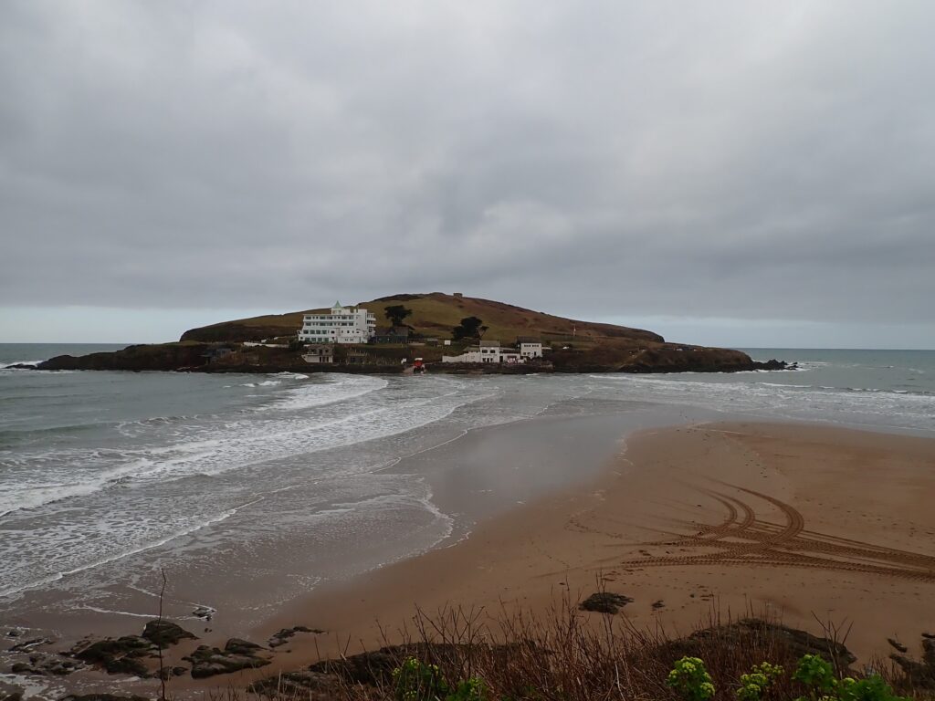
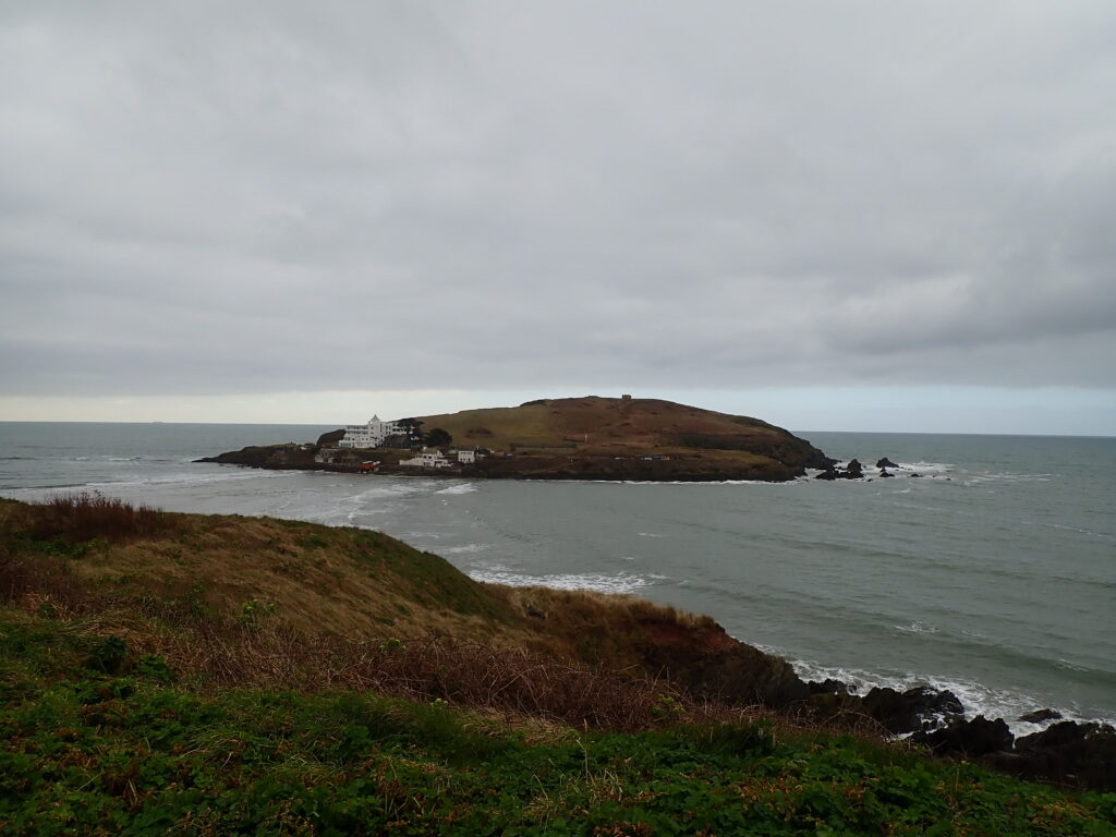
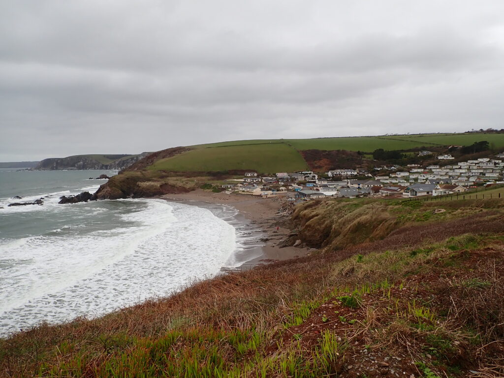
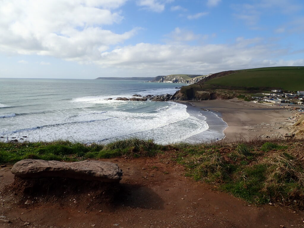
Then follows a steep ascent and then decent back to sea-level at Ayrmer Cove, followed by another ascent and decent to Westcombe beach. The OS map shows that the tops of each of these ascents are about 100m above sea-level. The next part is slightly less severe with climbs back to the same level but the valley not going down to sea-level and this continues till the headland called The Beacon, where the path turns to the north and there is a gentle decent to the sandy beach of Wonwell in the estuary of the River Erme.
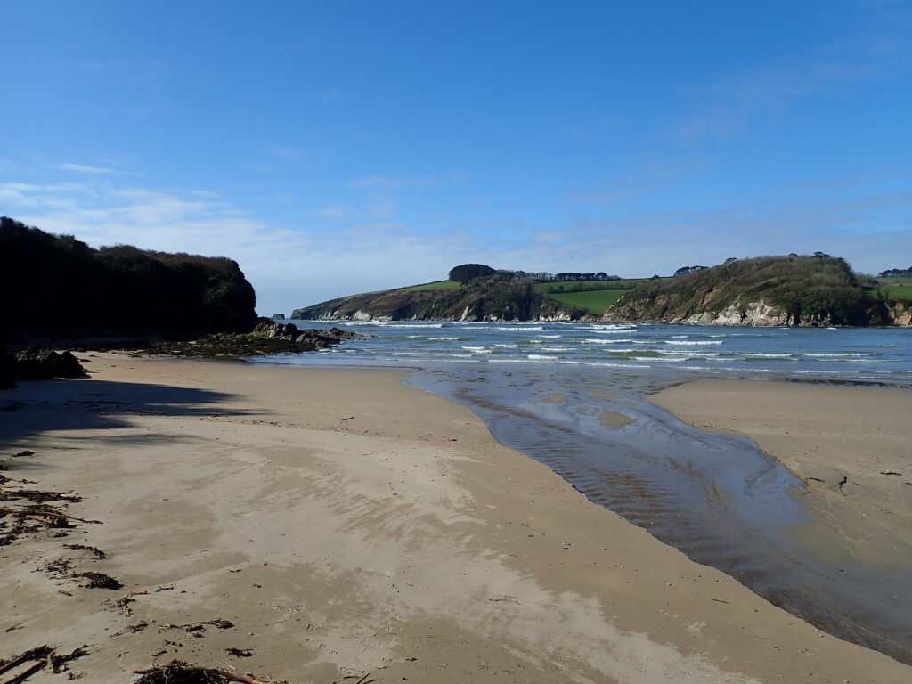
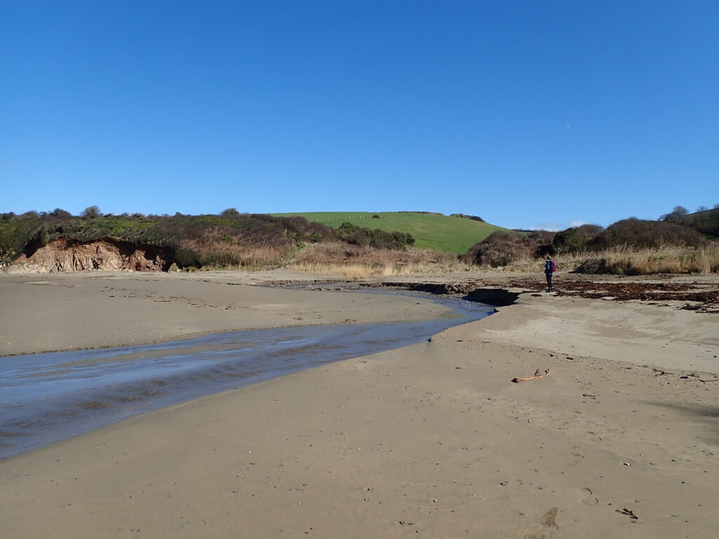
The crossing point is still a little further North, but as there was no sensible alternative inland route, and we had to repeat the steep path going back, to return from here to Bigbury-on-sea. But this time the sun had come out and there were spectacular views of the waves as we returned.
So back to the sandy beach for a picnic lunch and then the first Ice-cream of the season at the Venus café, though after buying it in the sun the clouds and the wind returned, and we almost needed to put our gloves back on to enjoy it.
