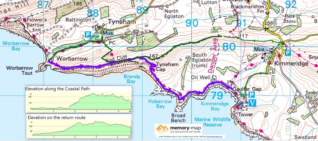
4.7km along the coast and 7.4 km inland
First part of section 67 in the South West Coastal Path guide
Following the pause caused by the November lockdown, both our home and this part of the South West Coastal path are in “tier 2” which at least allows us to stay away from home and to continue. As the light and the weather restrict walking time we decided to stay in a static caravan in Swanage to walk and travel by car only a short distance to begin each walk.
In the past we have not been a fan of “Holiday Parks”, partly because they often seem to spoil the view of the coast by masses of generally white “statics” and also they off lots of “amenities” that we don’t really want. However, we were pleasantly surprised when we rented a mobile home at the Swanage bay view site – and it allowed us to bring our own food, maintain social distancing and have somewhere to rest at the end of the day.
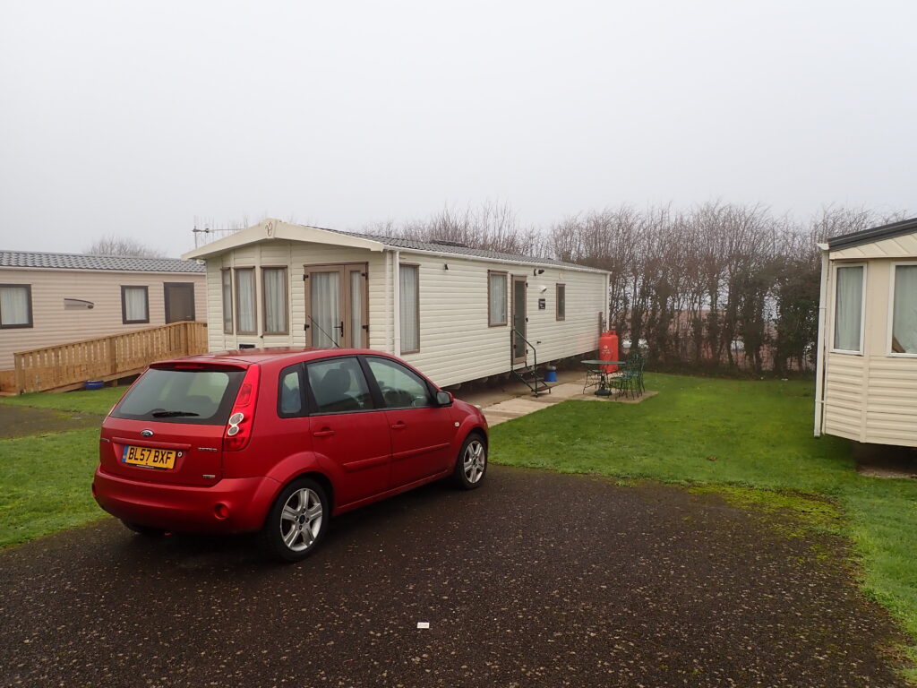
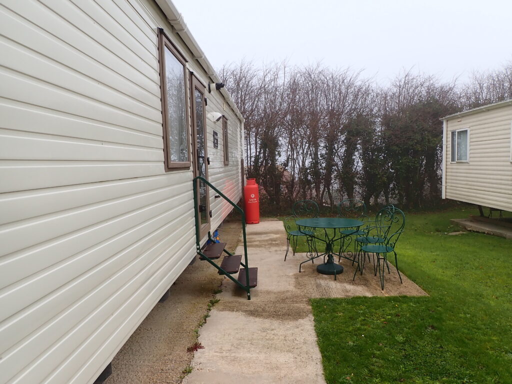
Although we had looked at the long-range weather forecast when we booked the stay, by the time we arrived on Friday evening it was very cold. During the night there was very heavy rain and wind which was noisy inside the van.
The plan had been to drive to Tyneham, walk back to Kimmeridge and then back along to Coastal Path as far as we could get before returning to Tyneham – however as it was still wet and windy, though forecast to improve, we set out later and decided to return to the little carpark at the quarry on the edge of Kimmeridge.
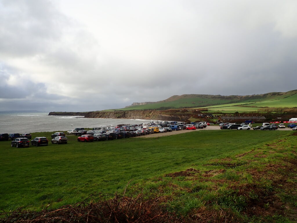
From here we walked down to road, through the village to the Toll Road (Cars £5) that leads to Kimmeridge Bay. We were surprised to see that the car park at the bottom was almost full, on a wet and windy Saturday in December. As we got closer to it, it was clear there was a running event taking place, which we later discovered from a marshal was a time-trial (to avoid a mass start) with different distances up to 60 (miles or km I’m not sure) along sections of the Coastal path that include some very steep, and muddy, hills.
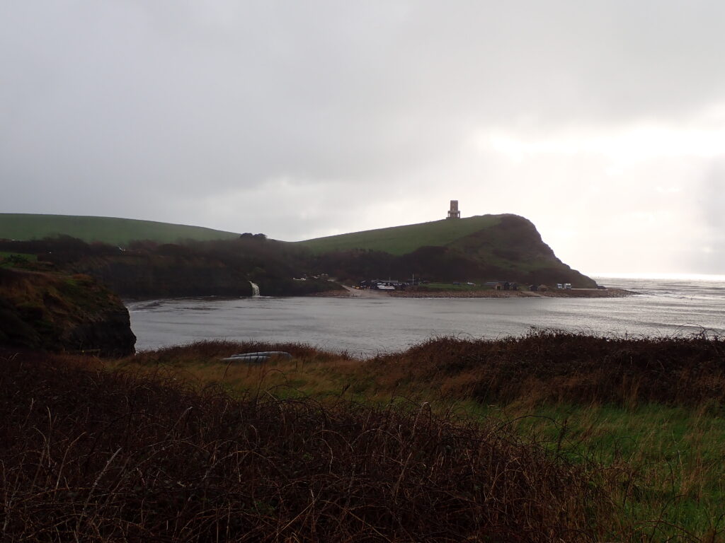
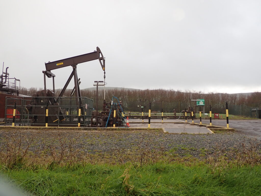
From Kimmeridge Bay the Coastal Path passes a few cottages and then comes to the Kimmeridge Oil Well, consisting of a single nodding donkey, but I have heard that it has produces more oil than any other in England as it has been working since the 1950’s. The oil here comes from Oil Shales that in the past have started fires in the cliffs, and also, I have noticed the smell of paraffin, but not today.
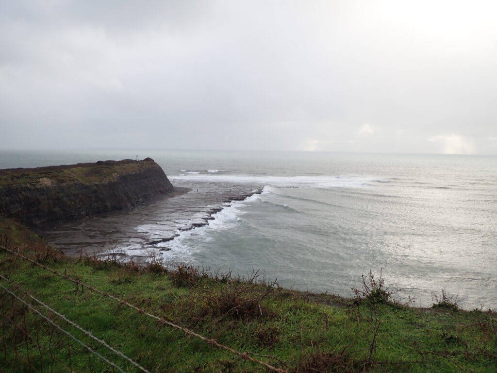
Soon after the Oil well, you pass through a gate into the Ranges, and are reminded that you must keep between the yellow posts as only that part of the range is checked to be clear of ordnance. At first there is a gentle slope, but it soon gets steeper, and there are magnificent views in both directions, but these kept changing with wind and rain, and the occasional brighter period.
After passing a path down to Tyneham, we continued down a steep grassy, and muddy path to Worbarrow bay. There had been a Coastguard station here, and a few cottages, but all this changes when the whole area was taken over by the army as a tank training ground. This has a rather strange effect of making it quite a wildlife haven with human disturbance limited to specific areas and times. I don’t know how often a stray tank shell disturbs them but maybe they get used to that too.
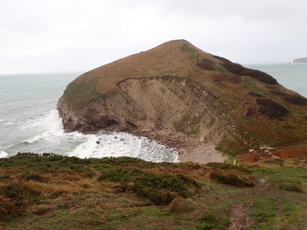
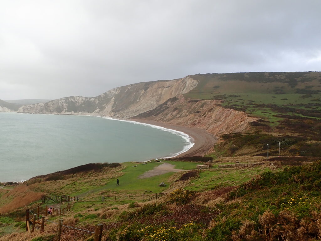
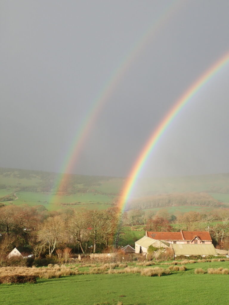
From Worbarrow bay, it is an easy, fairly level track to Tyneham, and after the slippery steep grass, a solid, muddy track was a welcome change. Tyneham village is a fascinating place, but Covid Restrictions mean that it is closed at present, so we had little choice but to climb a fairly steep slope back to the Coastal Path. We were rewarded with a magnificent double rainbow on the way up, and although they are meant to show hope, were greeted with wind and sleet at the top.
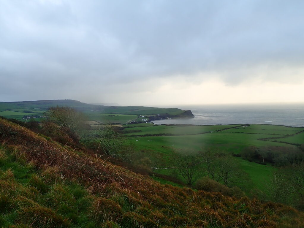
From here it is only a short distance until a path, generally good, wide, and paved some years ago, leads along the ridge back to where we had parked our car.
