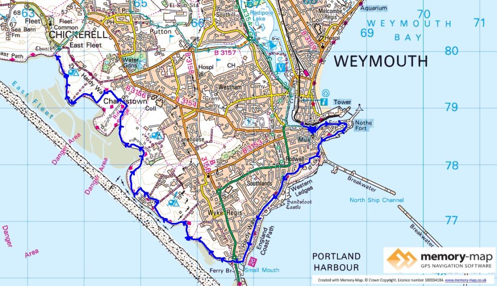
12.6km along the Coastal path and 7.6km inland
The remainder of section 66 and start of section 64 in the SWCP Guide
Today was sunny, but with a stronger, and cold, East wind at times. We went by car from Osmington Mills to a lay bye at Chickerell and then walked along a series of footpaths and housing roads back to Weymouth harbour.
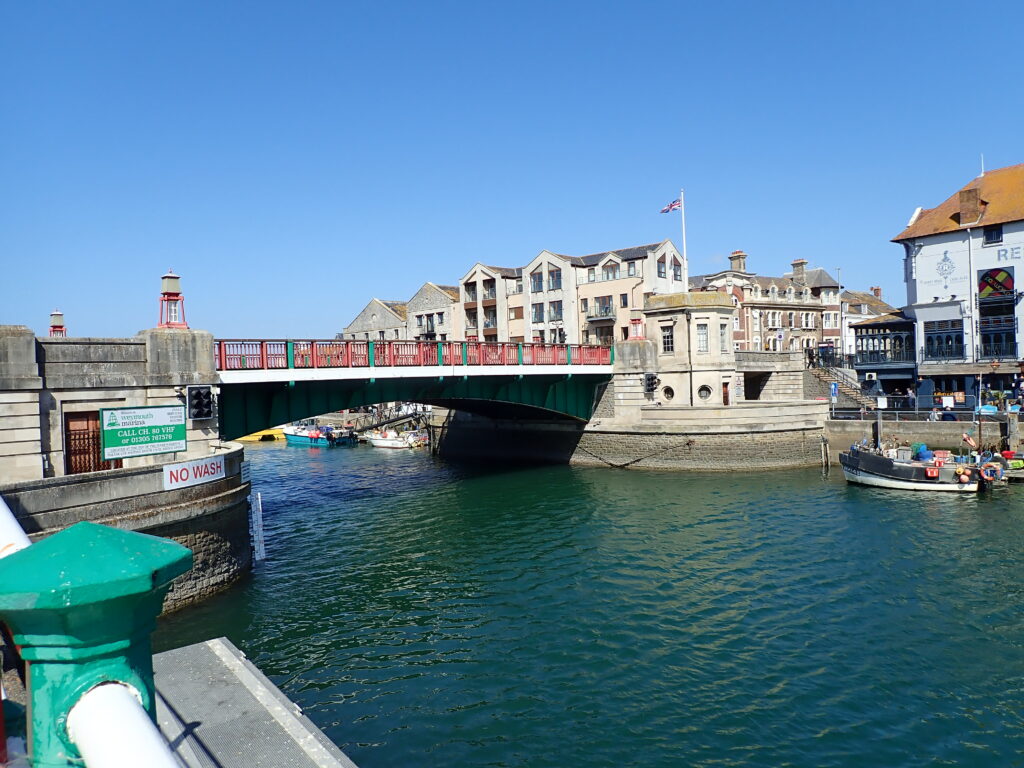
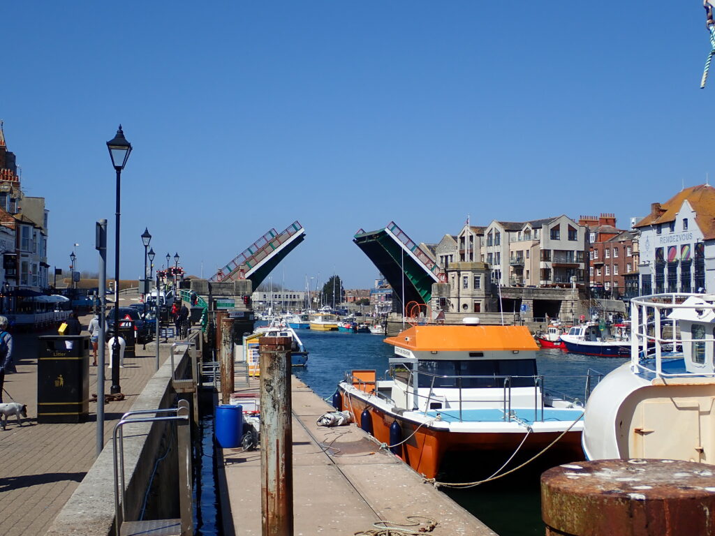
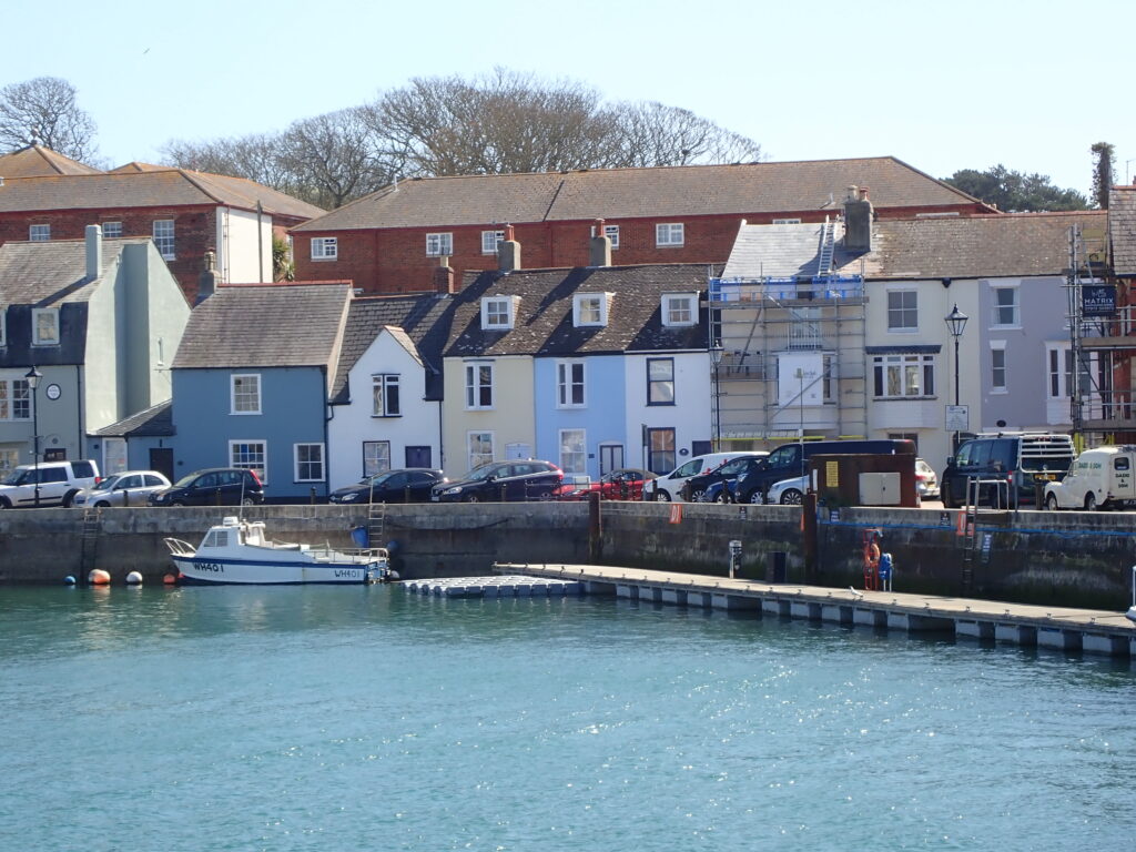
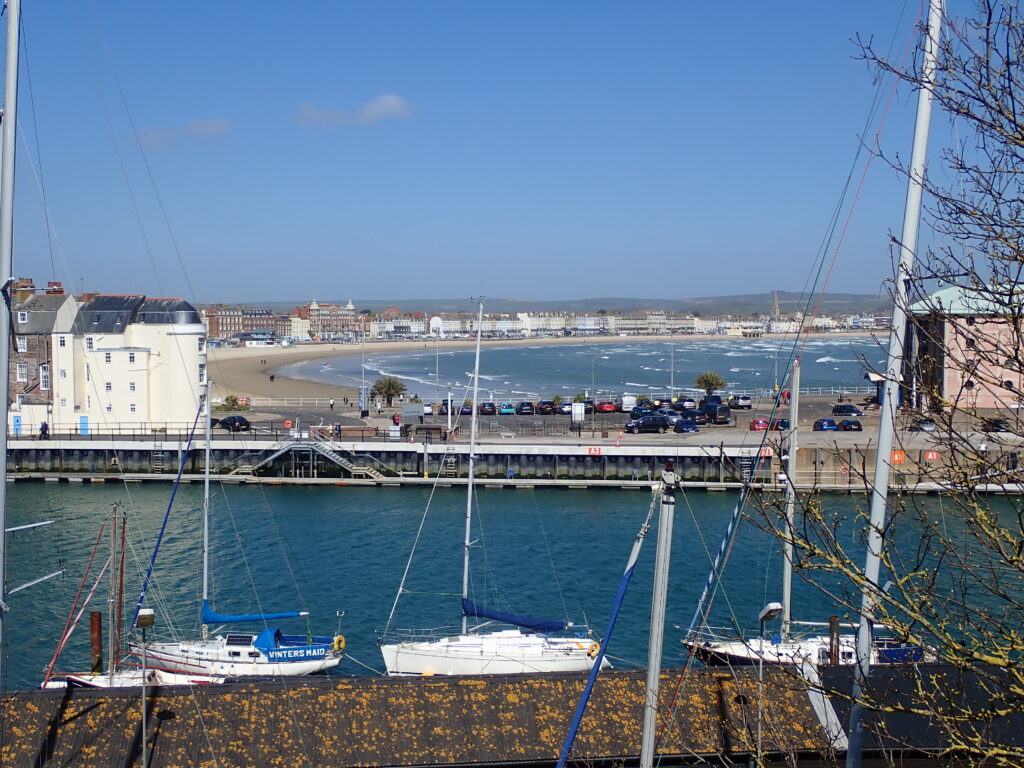
As we met the Coastal path near the Town Bridge, we had a take-away coffee and watched the boats in the harbour and were lucky enough to see the bridge open to allow a sailing boat to get to the marina. From here the path leads to Northe Fort, when we came for the Olympics in 2012, this whole area was reserved for the elite ticket holders and we watched the sailing from the beach.
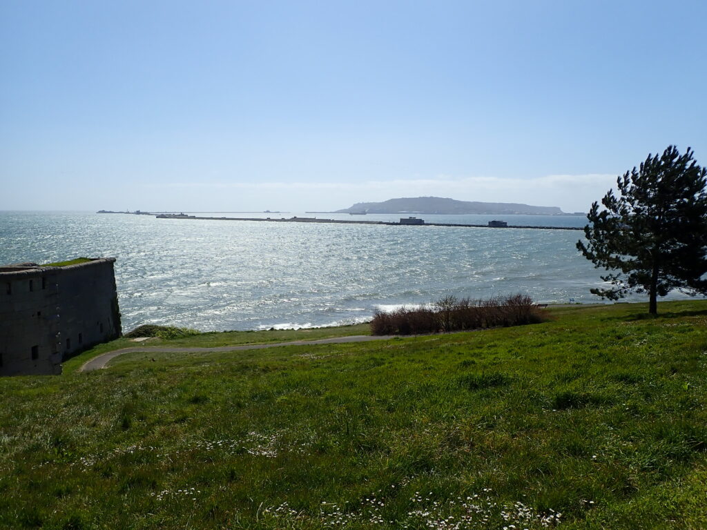
From here after a sort distance across a grassy mound, the path is along housing roads until it meets the Rodwell Trail, an old railway line that you follow to Ferry Bridge.
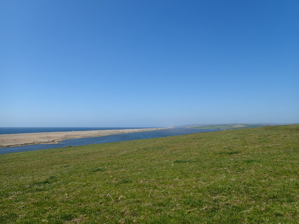
Ferry Bridge is the link road between Weymouth and Portland and also the inlet to the Fleet, the tidal lagoon between Chesil Bank and the mainland. We crossed the road next to the Ferry Bridge pub, rather run-down when we visited many years ago, and now being demolished. The start of the route was a little confused with rather ineffective barriers, but no signed diversion and then continued as a good path along the Fleet, with some parts along the beach.
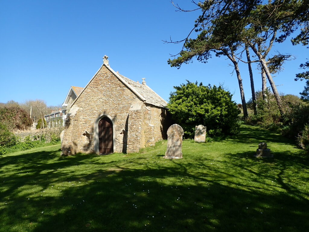
There were Navy helicopters flying from Chickerell training area and red flags flying, so we took the inland diversion and then headed across a field back to the coastal path and on to East Fleet. We walked inland passed the Old Fleet Church, unfortunately closed due to Covid restrictions, and then back to the car at Chickerell.
