The second half of Section 36 in the SWCPA handbook
9.61 km along the coast and 9.14 km inland
Last evening we drove to Coverack Campsite – and interesting eco-friendly campsite just above Coverack and a very helpful warden suggested that to get gas we should ring a another, rather posher campsite, just 10 minutes up the road. So I phoned and after getting an answerphone message was delighted to get a phone call back from Mark confirming that they did have the right gas cylinders – so we walked to collect them before starting this morning.


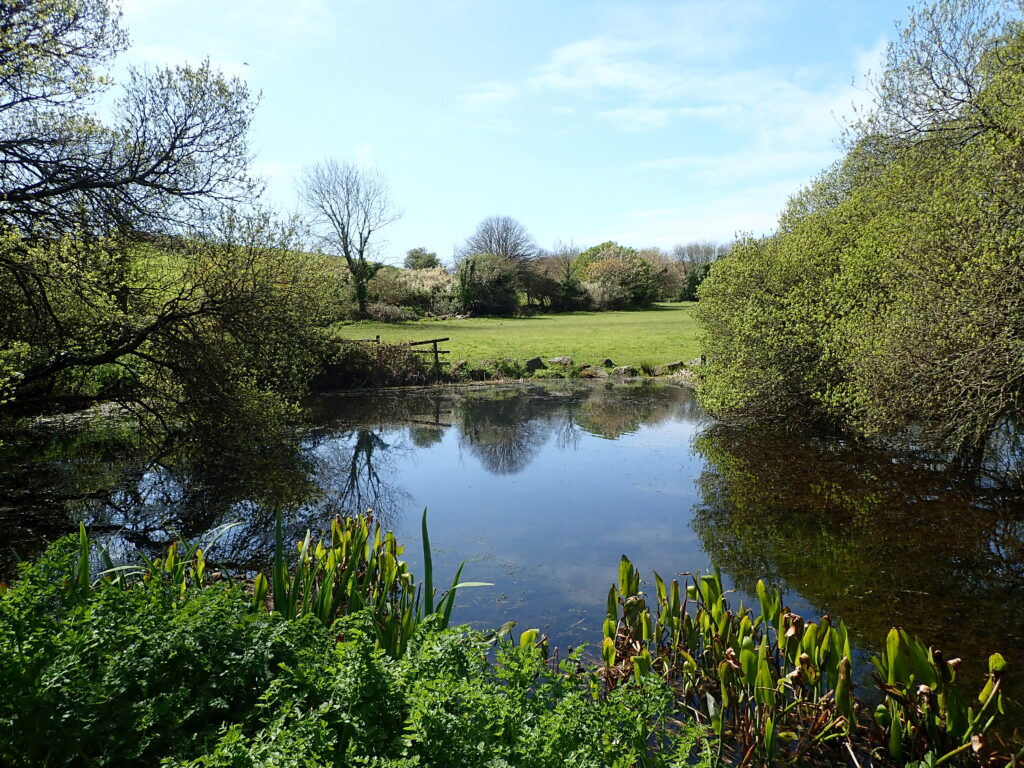
So after a slow start we walked down to Caverack and across the “white” sand beach as it was low tide and then along an inland route towards St Kevenere. A little before reaching the village we found signs for “Roskilly’s” which was marked on the map as a “Farm attraction” and having seen a poster in the campsite we were expecting a minor theme park. However, we were delighted to discover that it was a much more friendly enterprise and enjoyed their ice-cream and then a walk past a wonderful series of ponds teeming with wildlife.k
Then after a pleasant diversion we walked along the road to St Kavenere, obviously a flourishing village with a square in the centre, then down a series of footpaths to Porthallow.
Today the pub was closed but we had a pleasant picnic on a bench on the beach. The warden at the campsite had asked if we had noticed the half-way sign of the South-West Coastal Path, and re reluctantly said that we hadn’t so we looked carefully and realised that although we had noticed, and read and interesting notice about Porthallow, on the seaward side there is a clear marker showing that we only had 315 miles to go to Minehead (Plus almost the same again inland)


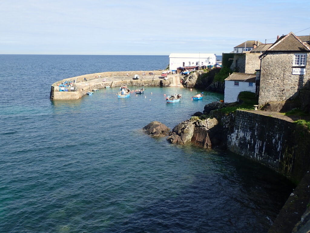
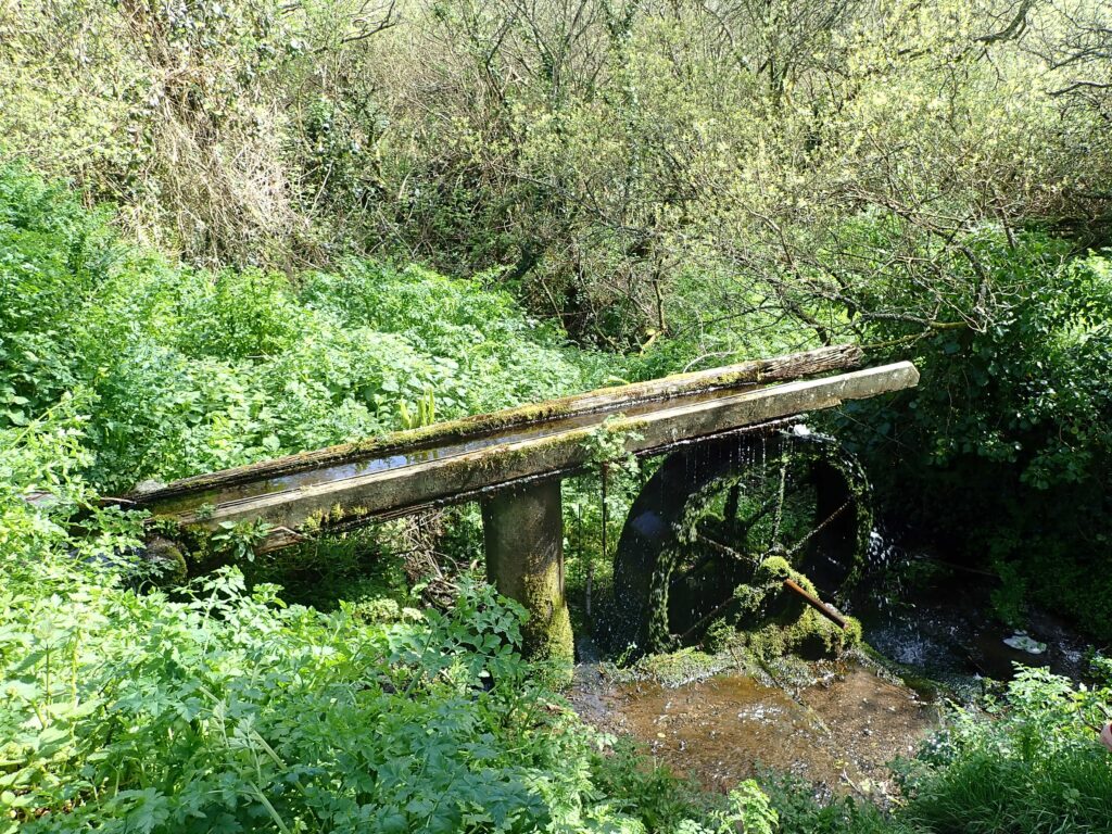
From Porthallow the map showed the coastal path following roads inland to Porthousted which was ok and we walked down to the beach which was dominated by old constructions from either quarrying or grain export. Then again up a fairly steep road to Rosenithon where the path was shown on the map to go back to the coast. However, we came across a fairly direct “Footpath Closed Sign” and so went back to the village. Although asking a local there seemed no choice to “walk along the road and then up the hill” – this actually lead us back to Roskilly’s so we walked back around the ponds and then down a very long narrow path to “Lower Head” aptly described as close to the sea.
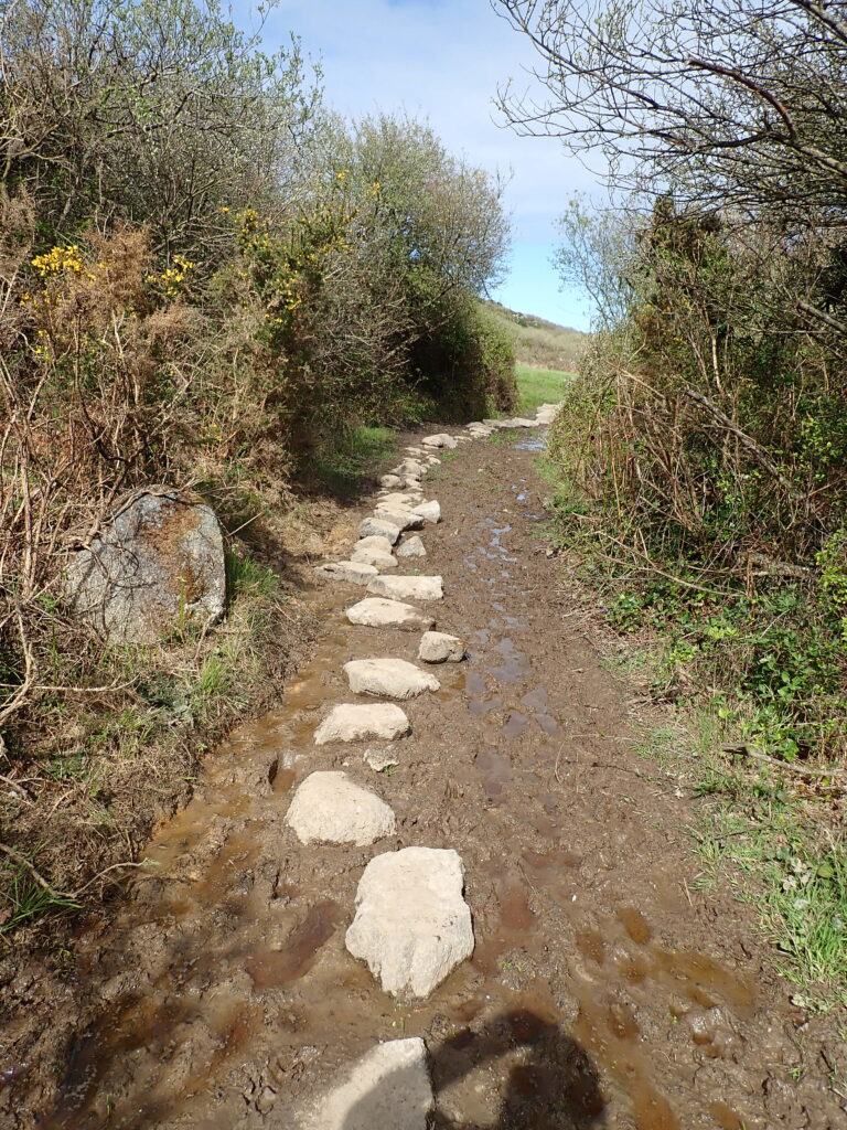
The next section of the Coastal path, although fairly level, is across steppingstones across marsh and so slow progress back to Coverack, but a welcome “Proper Job” from the local shop where we also bought some local cheese and olives.