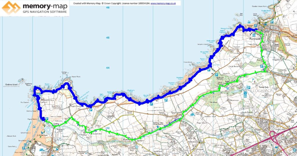
The bigger half of section 25 in the SWCPA handbook
11.4km along the coast and 10.63km inland
Although it started misty the forecast was for sun later, but this never materialised. The North wind had dropped from yesterday, but being North it was cold at times. We returned to the National Trust car-park at Godrevy, making the most of our membership and saving £8 for a day’s parking.
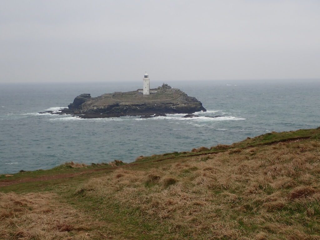
The first section of this path is around Godrevy Point and gives views of the lighthouse on Godrevy Island, though a little pale in the mist. Further around we met lots of people looking down on an inaccessible beach. So we had to have a look too and saw many seals sleeping on the beach. It was obviously a favourite spot of theirs as the National Trust had put up signs asking people to be quiet and let them sleep.
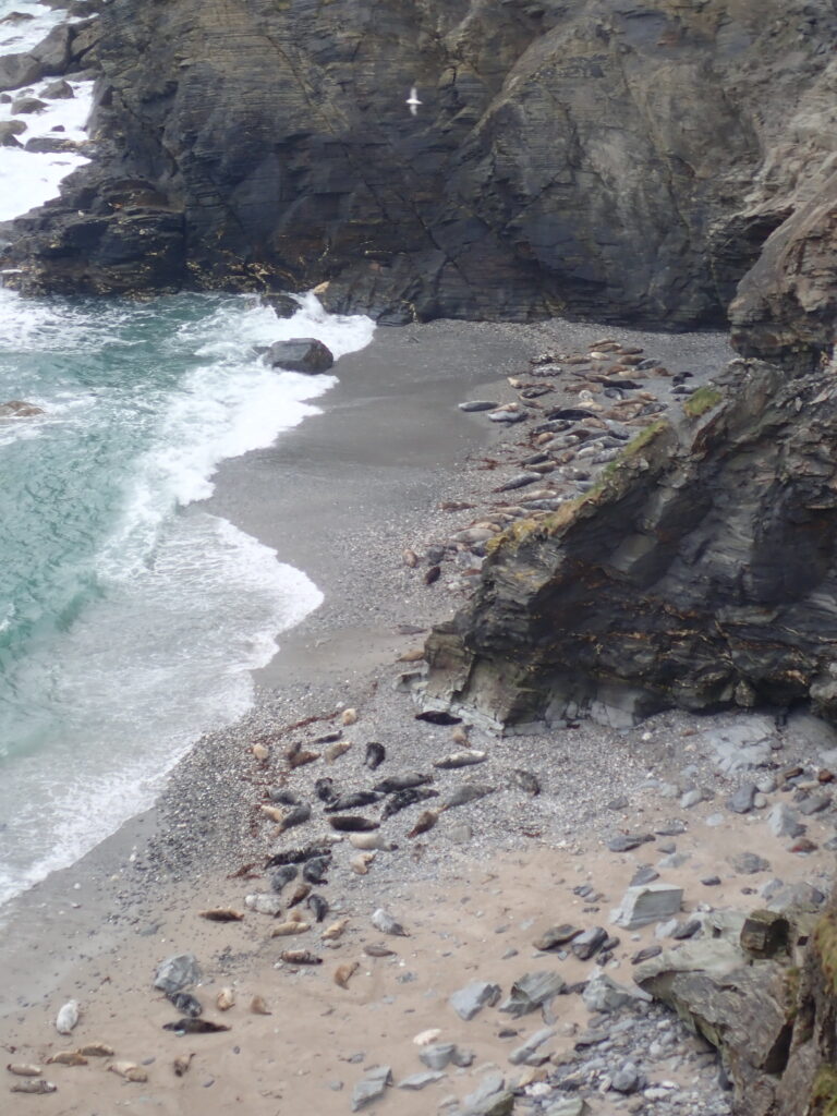
The coastal path then follows to top of some dramatic cliffs, but it is surprisingly level and a good path for quite a long distance. Although it is quite close to the road in places, apart from the car-parks you are not really aware of this.
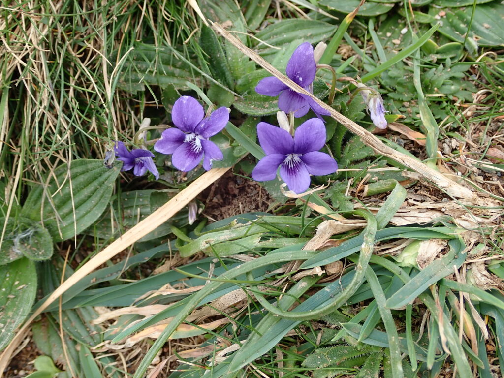
We noticed the signs of spring, the blackthorn, the first violets that we have seen this year and the emergence of what my app told me was Alexander Horse Parsley.
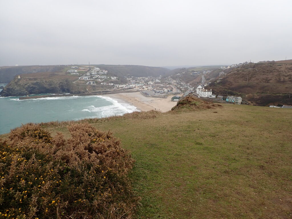
After what seems was a long couple of hours we were approaching Portreath, but there are a couple of stepdown and ups before you can see Portreath, then a fairly steep decent to the port.
We stopped for a late sandwich and a cup of coffee in a little café by the village hall. I had spotted on the map an easier, though only slightly return rout that took us through Tehidy country park and then along a bridleway next to the “Red River” which took us back to the car-park at Godrevy.
