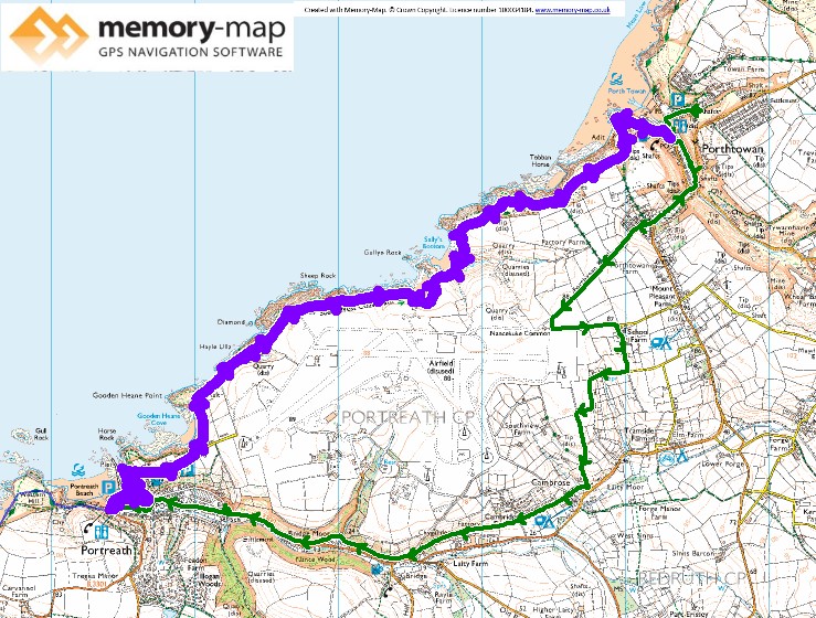
The start of section 24 in the SWCPA handbook
6.39km along the coast and 7.87km inland
Although the forecast today was for more cloud, we did see a little sun at times. Starting from or Airbnb in Portowan, we headed up the road and around the disused airfield. Although the second world war airfield is disused it still has some modern radar and so a huge area is still fences.
After following roads to the settlement of Cambrose where we joined the track of an old mineral tramway. This was a nice fairly level well made track that lead us past Bridge and eventually almost into Portreath avoiding the road.
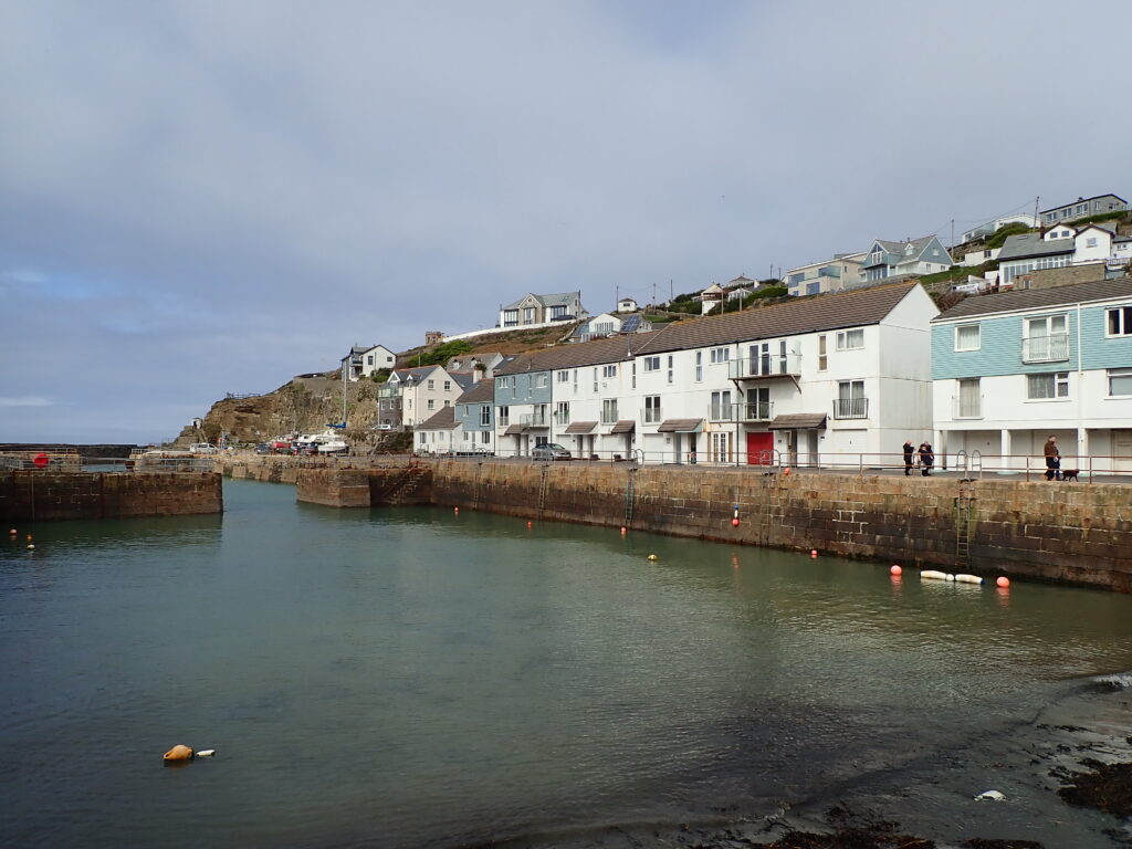
After a cup of coffee and walking around the harbour, which seemed almost empty of boats, there was quite a steep ascent on the road until the coast path leaves the road. Most of this section is between the chain-link fence around the airfield (and the white golf-ball ray-dome) and steep cliffs.

At the beginning the path is fairly level, but there a couple of quite steep valleys with steps down and up. After the last of these we came across the remains of mine workings where one chimney remains amongst what must have been fairly substantial buildings.
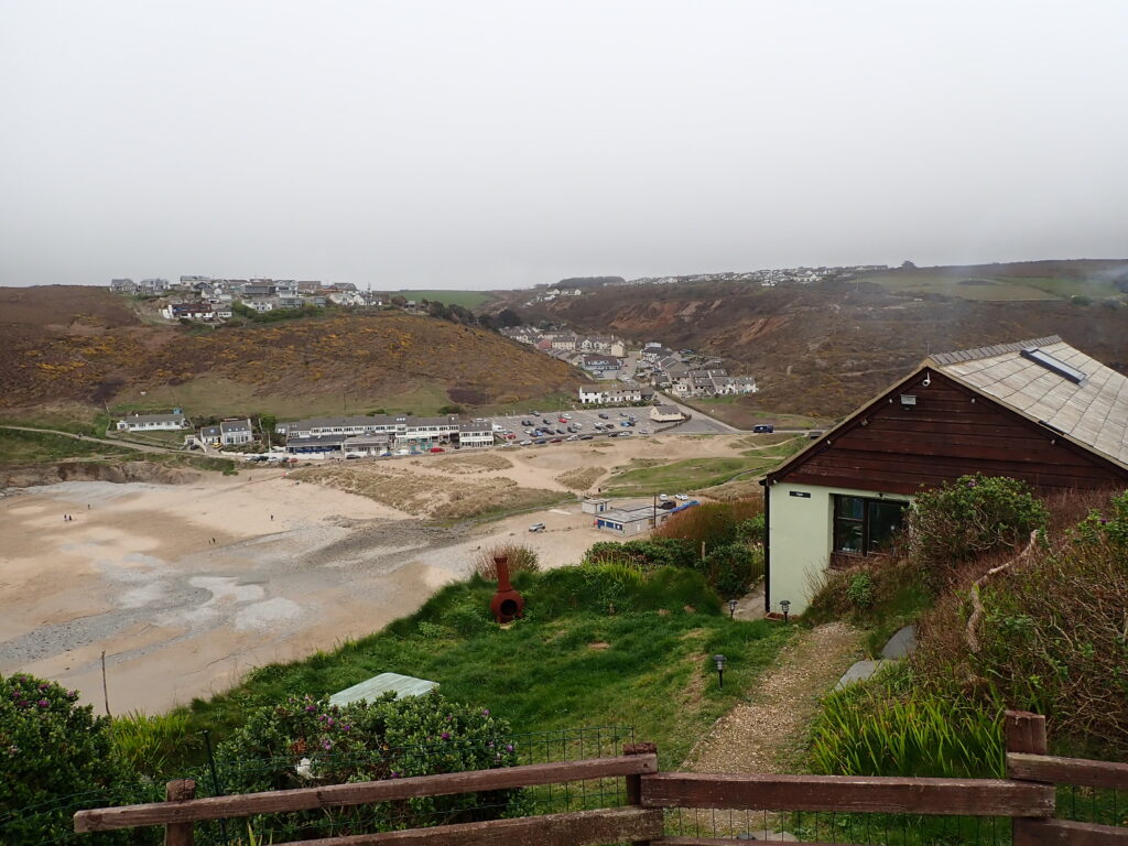
Having only met a few people on the path from Portreath, there were quite a lot of cars at what was the end of the road down to Porthowan. Here a series of large houses were being built into the hillside, rather a contrast to the 1960’s maisonettes that seem to for most of the village.

