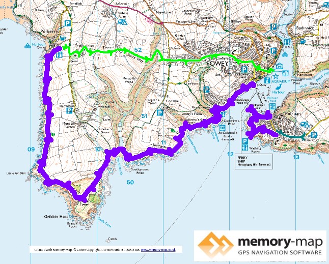
8.73km along the coast and 5.89km inland
From our campsite in Polruan it was only a short distance back to the Coastal path and complete only about 1km around “washing rocks” down to the edge of the village, where a lady suggested that we go to the blockhouse, before descending to the quay.
The short diversion was worth it for the views back up the Fowey estuary and Polruan. The village has a working shipyard, which seemed to be busy with fairly large fishing boats. But the main traffic is the Ferry to Fowey, that runs every 15 minutes to two different locations in Fowey, depending on the time of day.
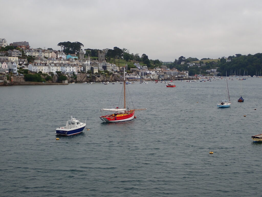
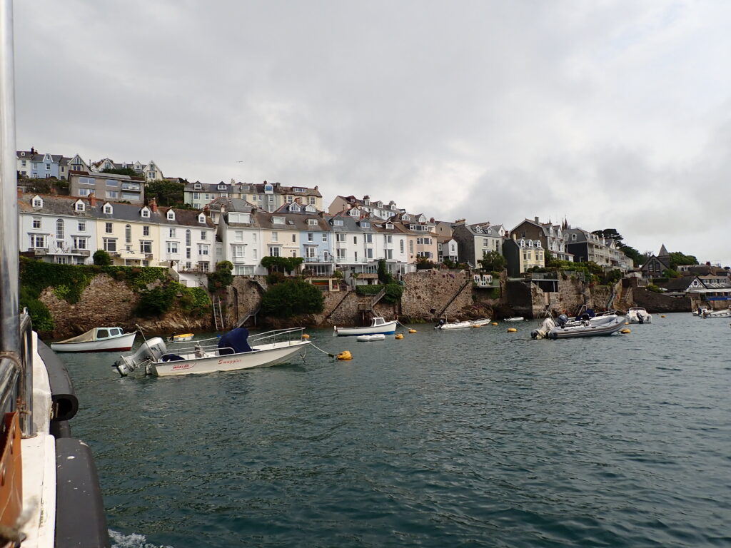
So, we crossed the estuary on the ferry – from yesterday being so hot, the weather had completely changed, windy and rain forecast and threatening, but still quite warm. The first part of the path follows the road to “Readymoney Cove” – apparently the name is a corruption from the Cornish Name – it is a sandy cove with is a pleasant seaside shop that sold coffee and other seaside things.
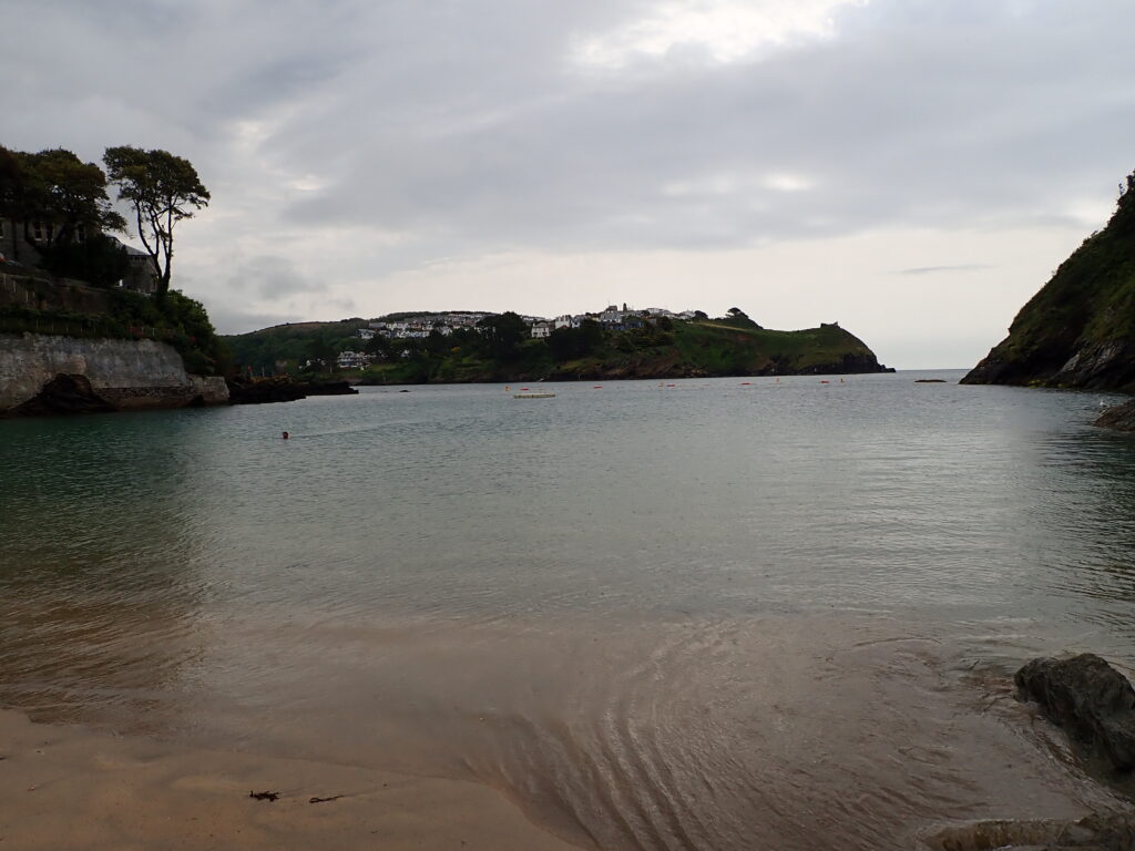
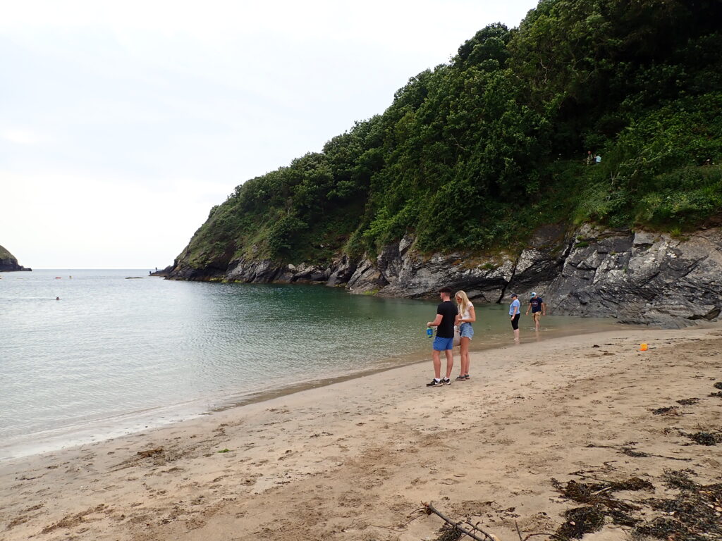
Then the coastal path starts with steps up from the beach and after passing a ruined castle and a couple of small beaches comes to a pretty house on Polridmouth beach, with a grassy frontage and ornamental lake, and only a small fence and notice saying that the grass is private land.
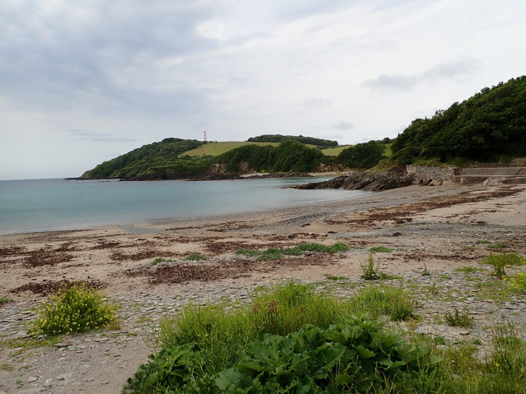
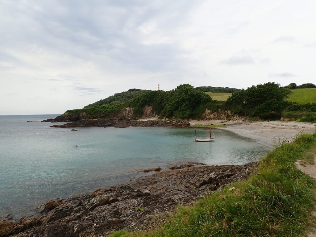
Although we could have returned to Fowey from here, the weather was ok, just a little rain from time to time, but getting more windy, so we decided to continue to Gribben Head, with the daymark, the Gribben Tower, that we has seen for the last day.
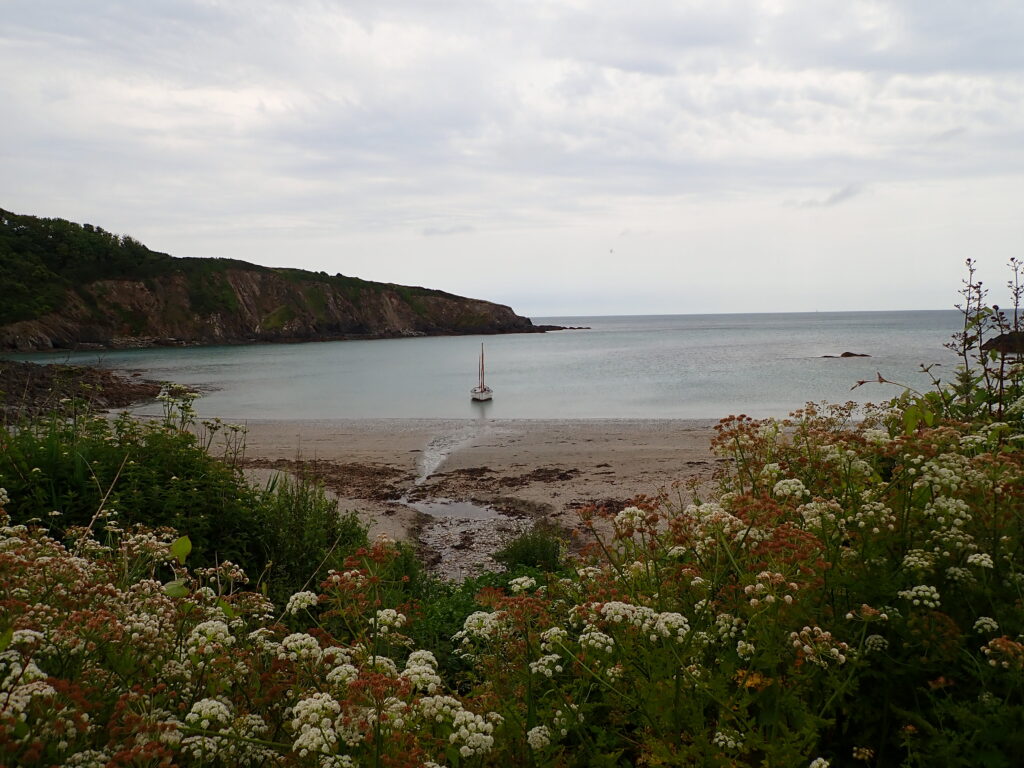
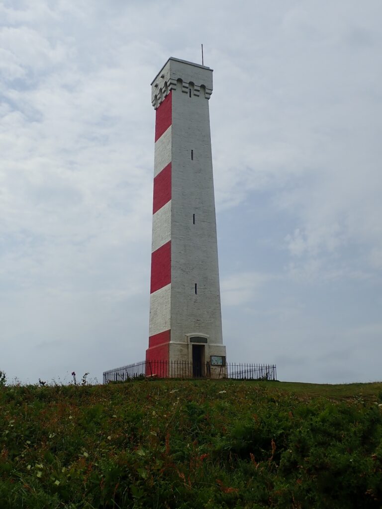
When you get close, this is a substantial stone tower, painted red and white and constructed simply as a daymark, but the landowner insisted on an interesting design.
The path was fairly good and even and so we continued to the edge of Polkerris where “The Saints Way” lead back to Fowey and a change for a beer and very good Cornish Pasty for lunch, before catching the ferry back to Polruan just before the worst of the wind and rain came.
