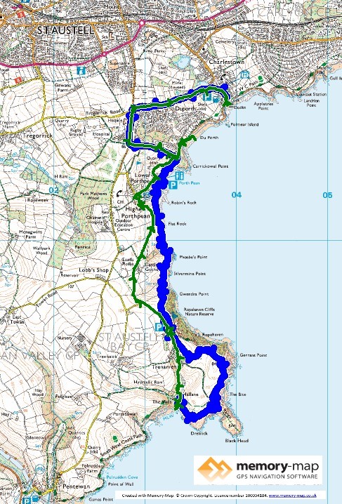
6.63 km along the coast and 6.81 km inland
After staying at a very nice campsite at Carlyon Bay and having had a day-off (Maybe?) when we walked to the Eden Project rather than along the coast,today, after a trip to Tesco for fruit and wine, we drove to a very small, but free car-park at Treannan.
Then a fairly easy inland route to Porthpean and down toward the sea. However, we followed the official Coastal Path, at least that marked on my OS map along a rather boring road and the started down to Duporth beach, where we found an official looking sign saying that the Coastal Path was closed from here to Charlestown.
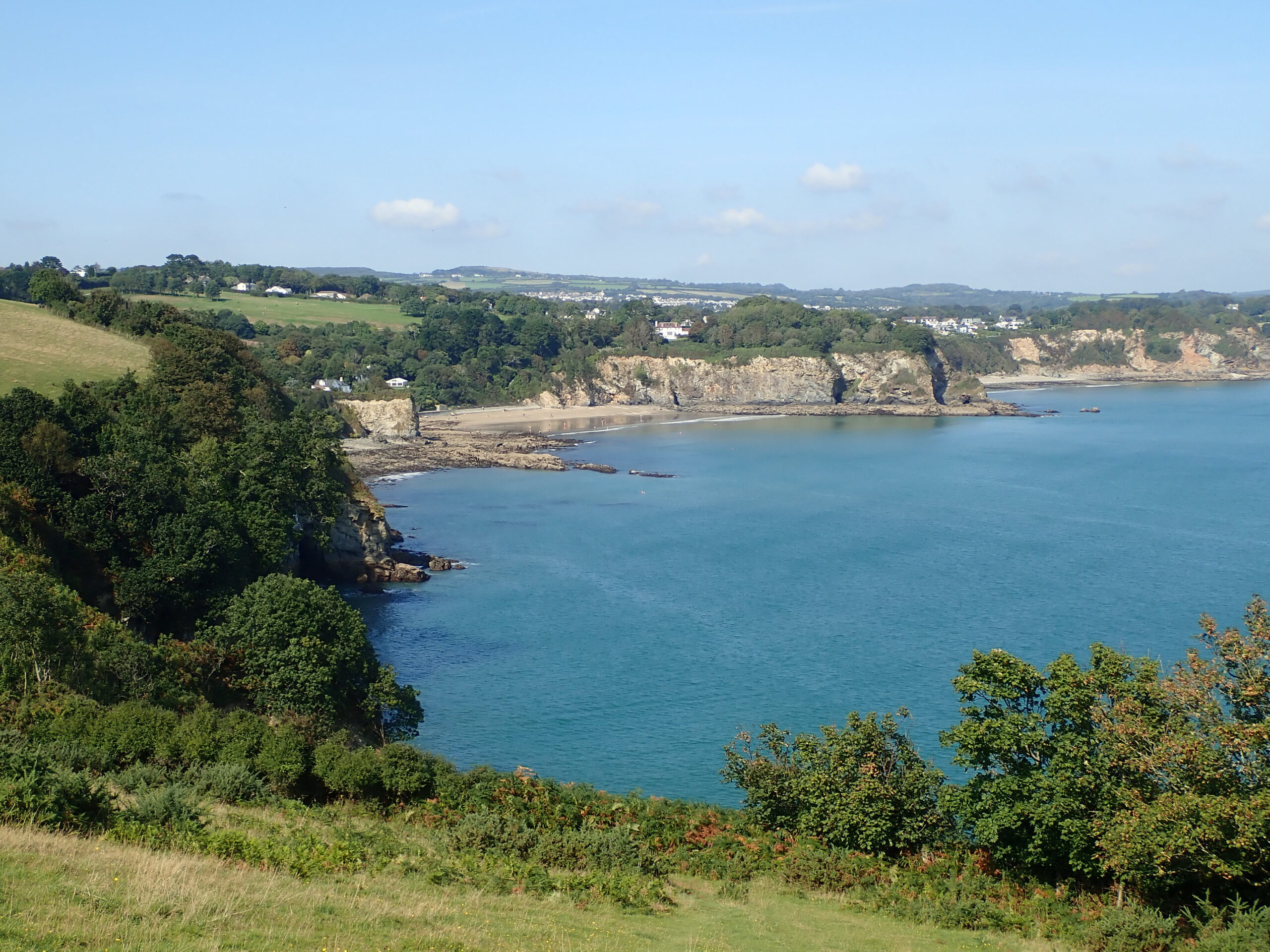
A lady was running ahead of us on the beach, but when we met here returning said that there was no way up and the only way to Charlestown was to follow the official diversion along the roads.
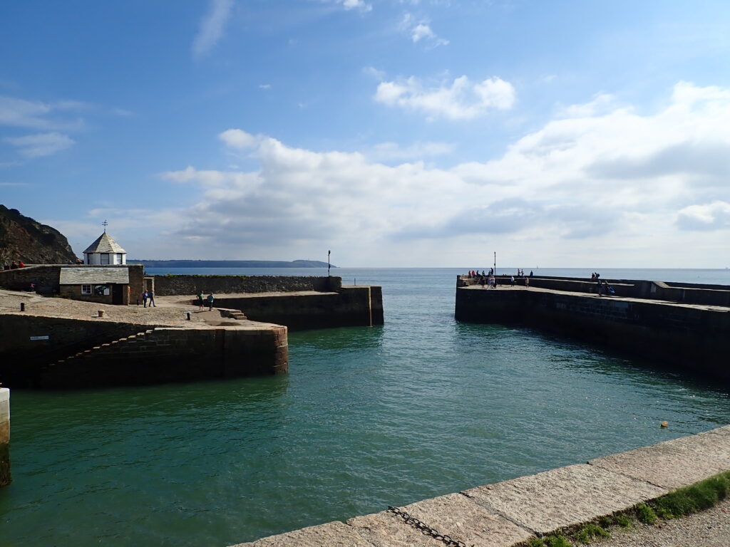
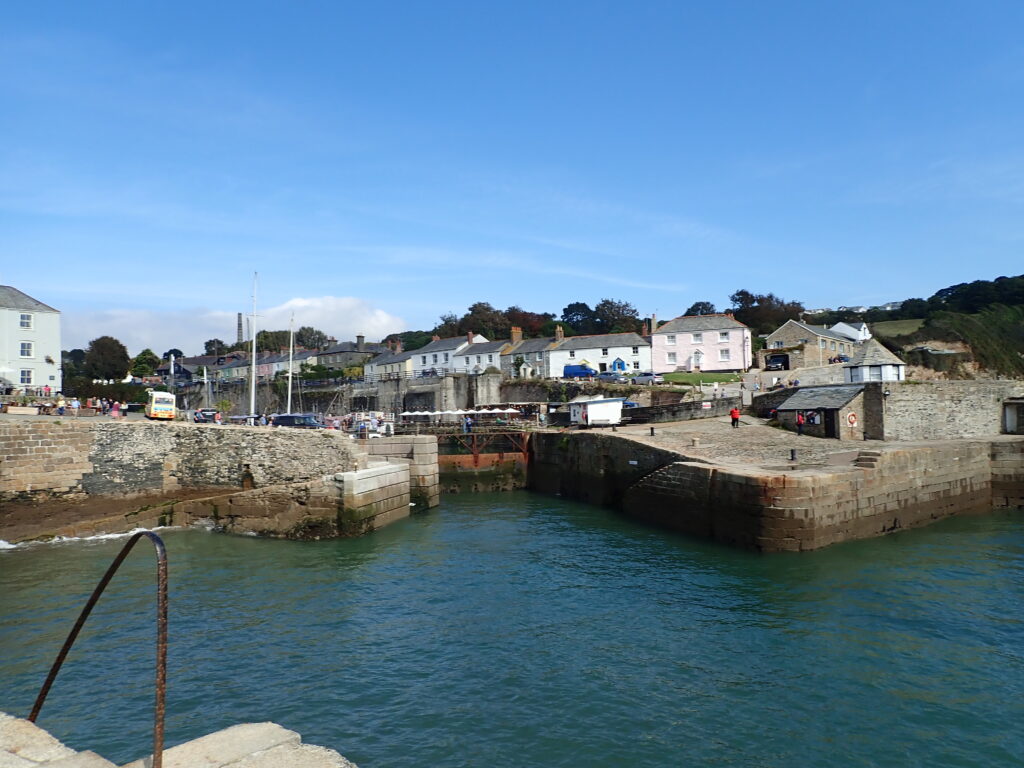
So a rather dull road route to Charlestown and the consolation of a pint of “Propper Job” from the Pier House and the view of the harbour with a little more water to help us on the return diversion – where we met a couple going the other way with a simple comment “There is nothing like a good diversion”.
So on, along the footpath on the OS map, which for some reason is not the official path to Ropehaven beach and a swim and lunch.
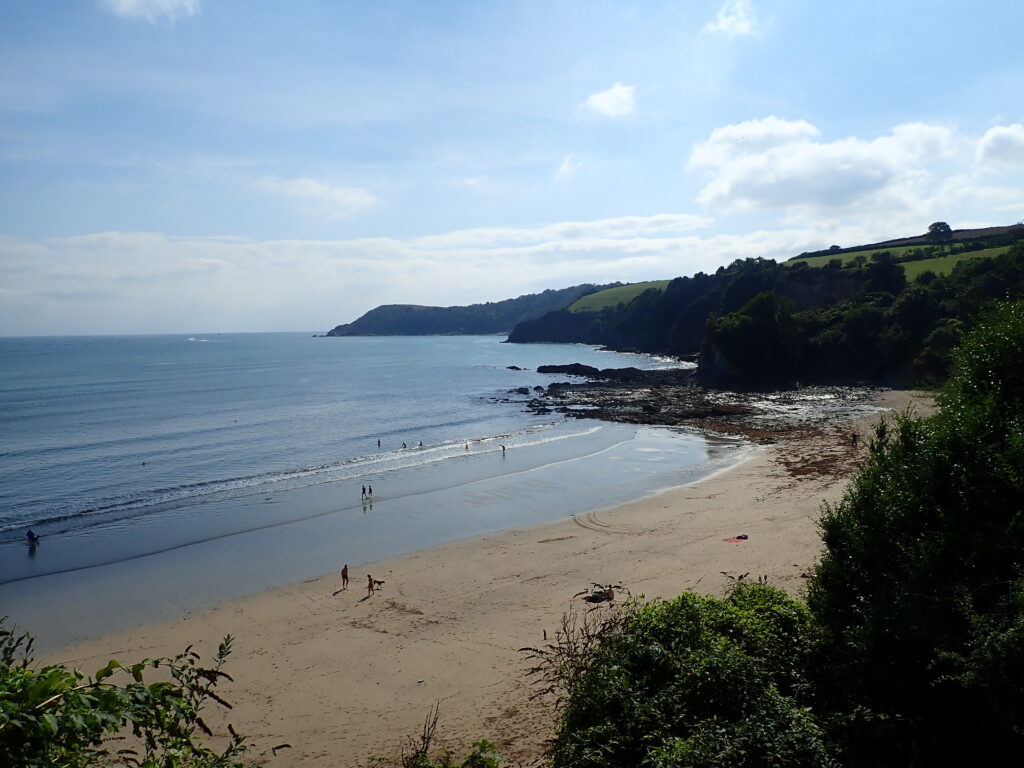
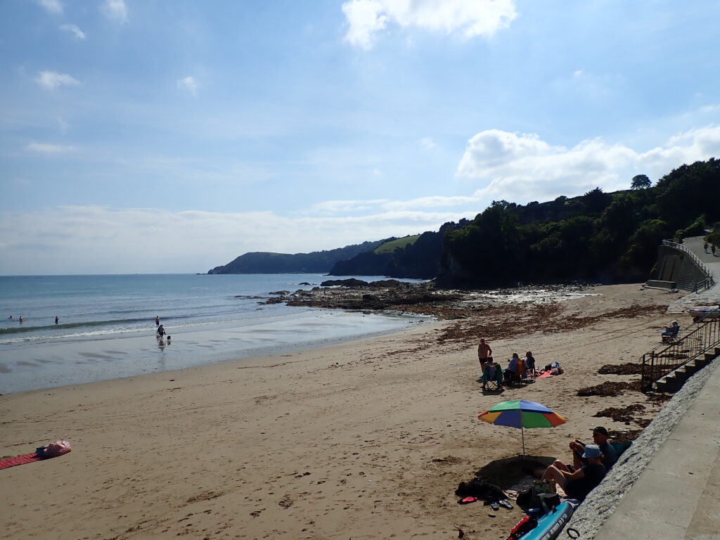
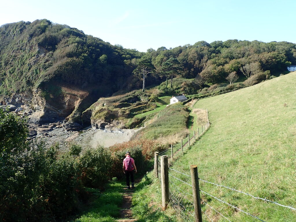
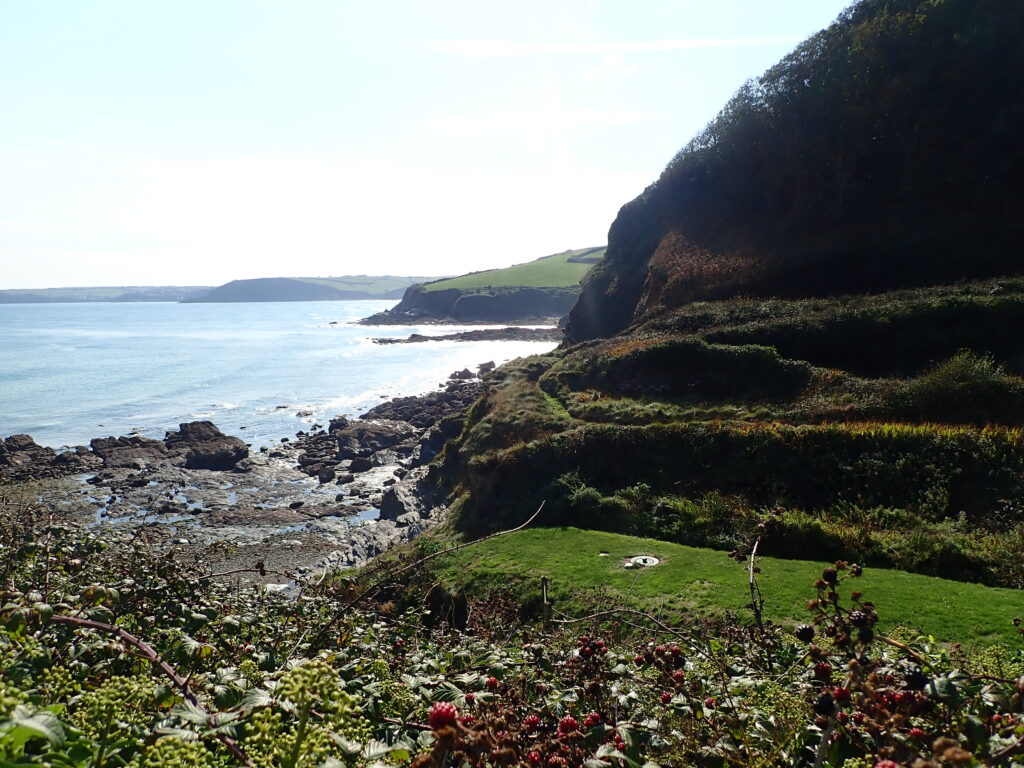
The next part is classic coastal walking, occasional spectacular views, the sound of the sea, steep down and up, including steps near Treannan and so back to Frodo.
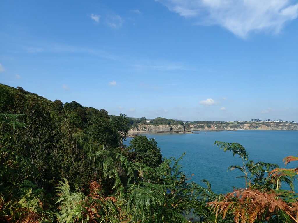
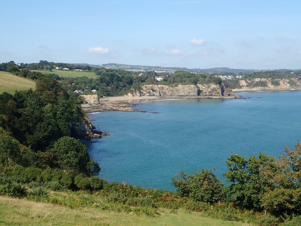
But not the end of the day, we continued around the peninsular almost to Black Point and on to Hallane, where a friend had stayed at the Mill, then back to the van at Treannan.
