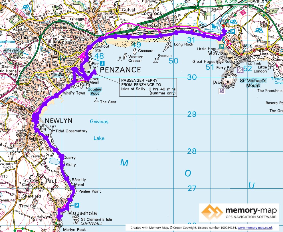
Most of section 31 in the SWCPA handbook
12.6 km along the coast, 11.5 km by bus and 0.6 km inland
The weather looked a lot better today – mainly sunny and a little warmer. We set-off from the campsite and walked across the sand towards Penzance. As the tide was going down, we could see crowds of people heading across the causeway towards St Micheals mount.
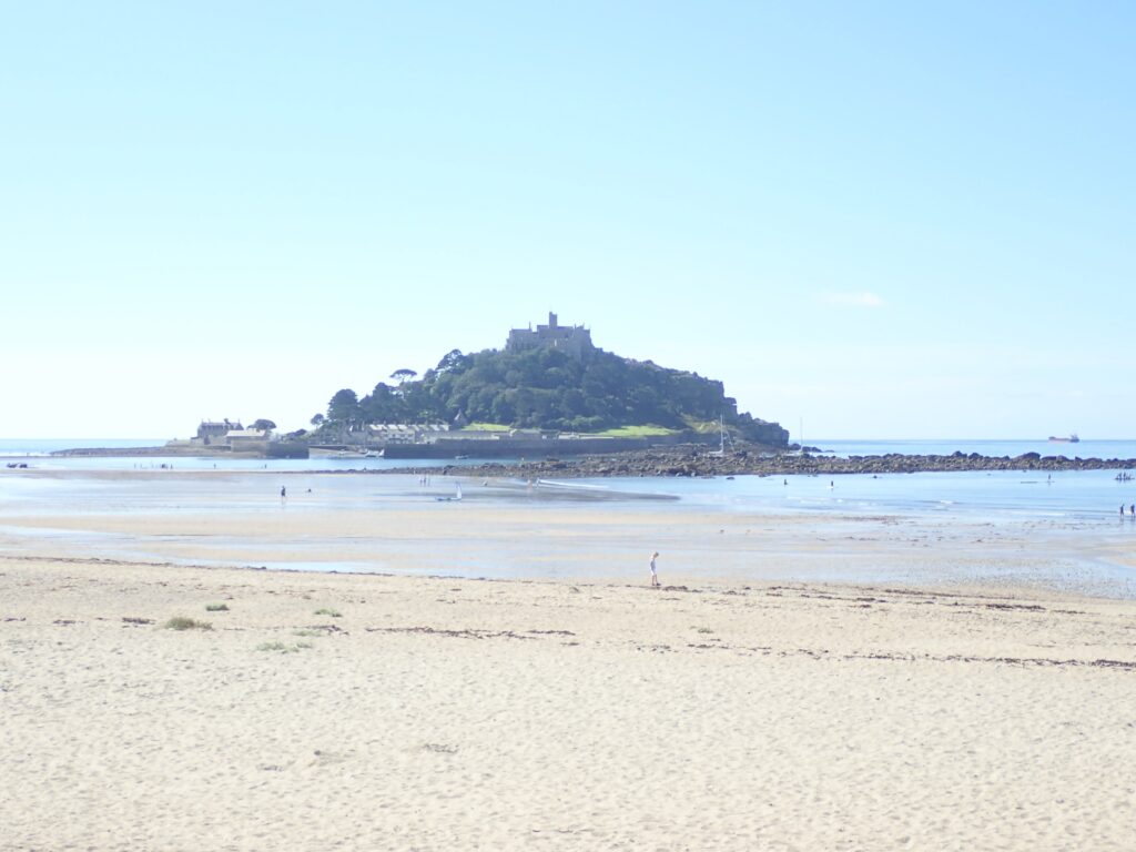
The beach is shingle at the top, but fairly hard, though a little wet, sand lower down so we made good progress. Getting towards Penzance we joined the fairly busy shared-space coastal path and cycleway which is rather trapped between the railway and seawall.
The station, literally the end of the line, is the end of this section and we then walked around the harbour, which seemed busy with ship repairs, and to the harbour arm showing sailings of Scillonian III, which wasn’t berthed then, no doubt on the way to the Isles of Scilly.
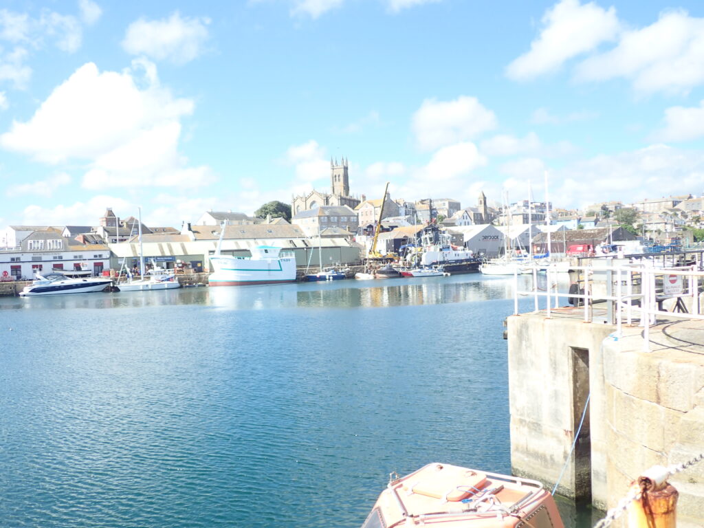
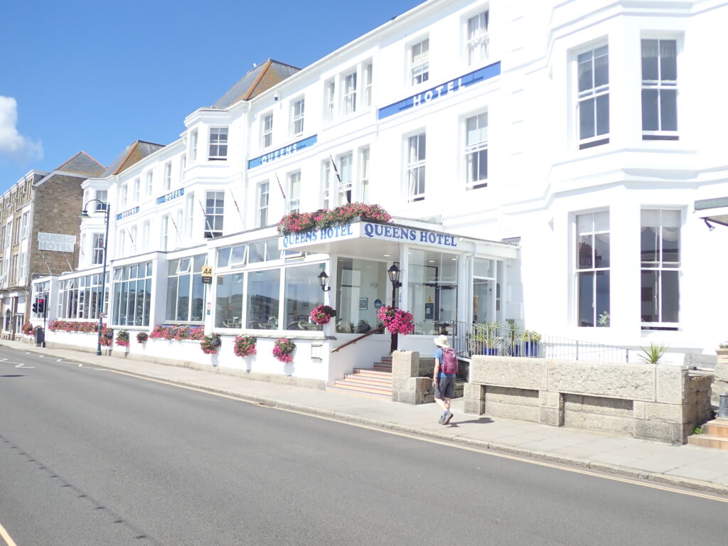
Looking for coffee we walked up towards the church and town centre. Then back to the Western Promenade and past the “Queen’s Hotel”. Annabel had stayed there a long time ago when flights to the Isles of Scilly were cancelled and they had to stay overnight.
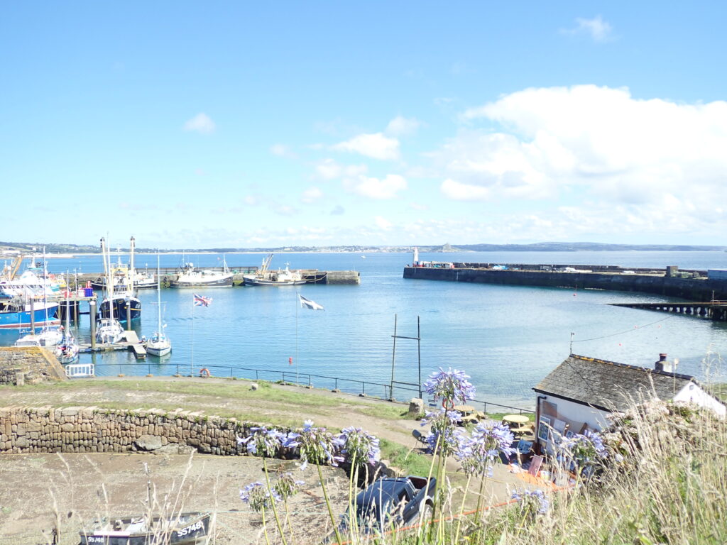
It is a relatively short distance to Newlyn, with another busy harbour, and a few active fishing boats. After stopping here and having a drink at “The Swordfish Inn” we continued to Mousehole, with another harbour, but mainly pleasure boats and just a few fishing boats remaining.

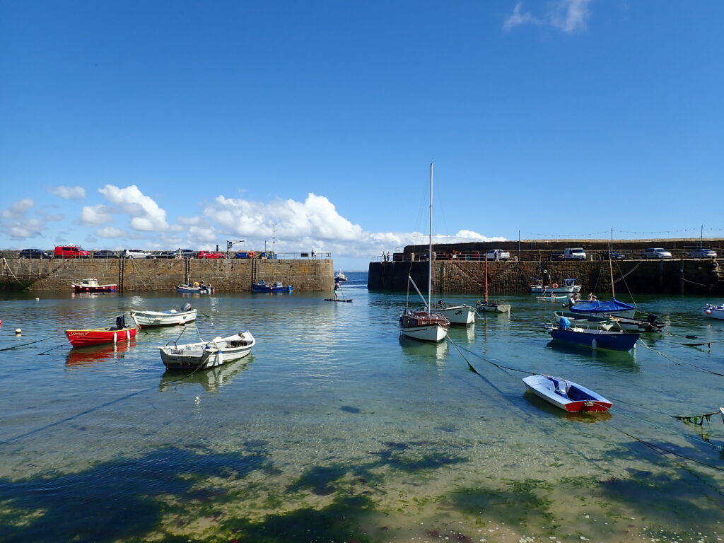
As this is another linear section, we caught a little bus from Mousehole to Penzance Bus station, then another to Marazion for a quick swim before returning to the campsite.
