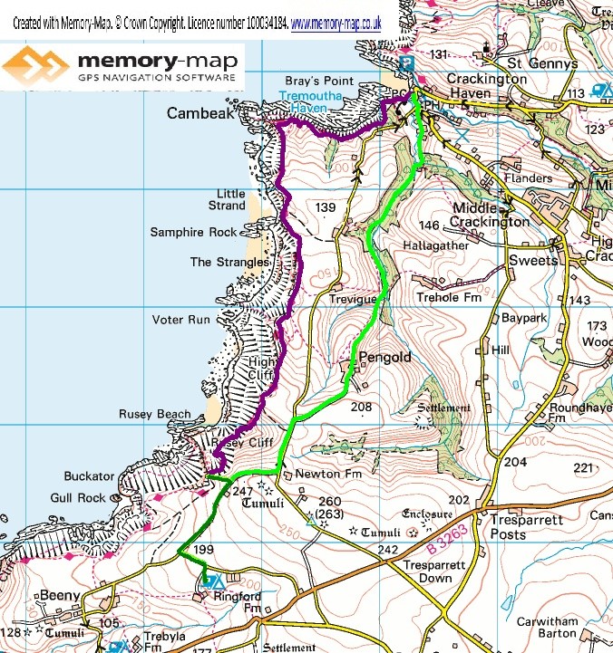
The second half of section 15 in the SWCPA handbook
5.6 km along the coast and 7.2 km Inland
Although most of England continues to have a heat wave, today started cooler and cloudy. We retraced our steps of yesterday, the short distance to Rusey Cliff to rejoin the Coastal path. After a steady decent, on a daily good path, which probably only went half way down to sea level.
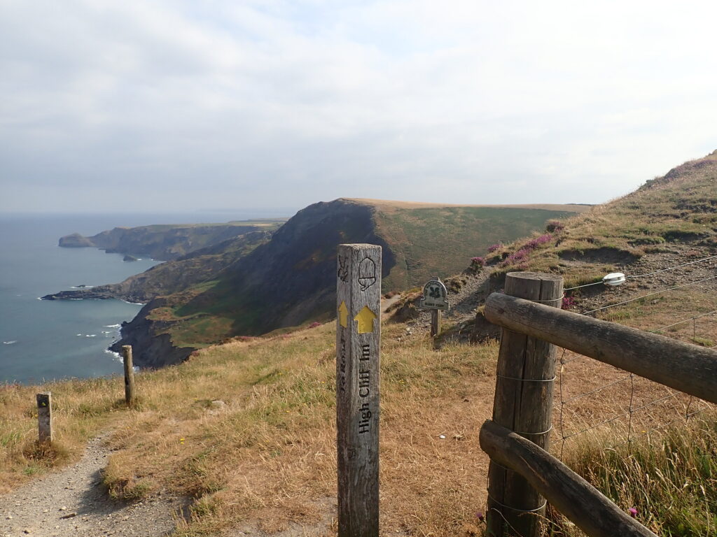
The what looked like a daunting climb. However the Zigzag path had a steady, but not severe incline, and I think 32 hairpin bends and took us up to High Cliff – so named as it is the highest cliff in Cornwall.
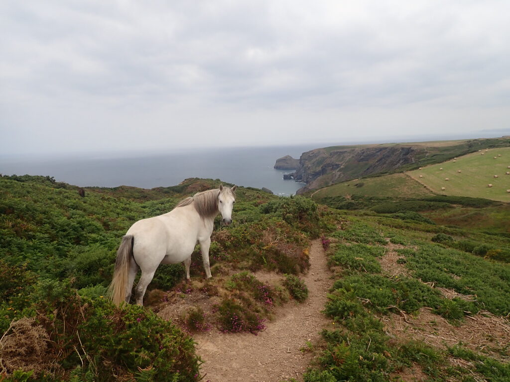
The top is fairly level and then a pleasant decent. We were surprised to see a couple of White Horses (the animal kind) and a little later a herd of goats on very rough pasture right on the cliff edge. There was a good, wide grassy path for most of this length.
Along this length we met a fellow walker, who when asked where he was heading to, said the end of the path. He had walked almost the whole path a year ago, only to fall and break his shoulder near the end at Dancing Ledge – so was starting again, he hoped in better weather, only to encounter the current heat wave.
The headland of Cambeak is clearly visible and after another decent, the coast path signs point to the top of the hill. (There is an alternative shorter route) It was worth climbing the hill both for the view and we had a chat with a couple of other walkers.

Although Crackington Haven is clearly in view, there are a number of docents and assents before getting down to the village and beach. After quite a hot walk it was good to have a swim, though the English weather decided to cloud over and cool down, so we had a Cornish Pasty and then an Kelly’s Ice cream before returning.
After our difficulties following footpaths yesterday we were unsure what we would find. But there was a well marked path that followed a stream for most of the way. Then a steep grassy field and a path that lead to Pengold, where, despite the lack of any waymarkers, it was fairly easy to find a way through the farm yard and then on a track to a minor road.
From here we returned to the track where we started and the short distance back to the campsite.